

Subrata Nandy (Early Adopter)
Forestry and Ecology Department, Indian Institute of Remote Sensing, Indian Space Research Organisation
Applied Research Topic:
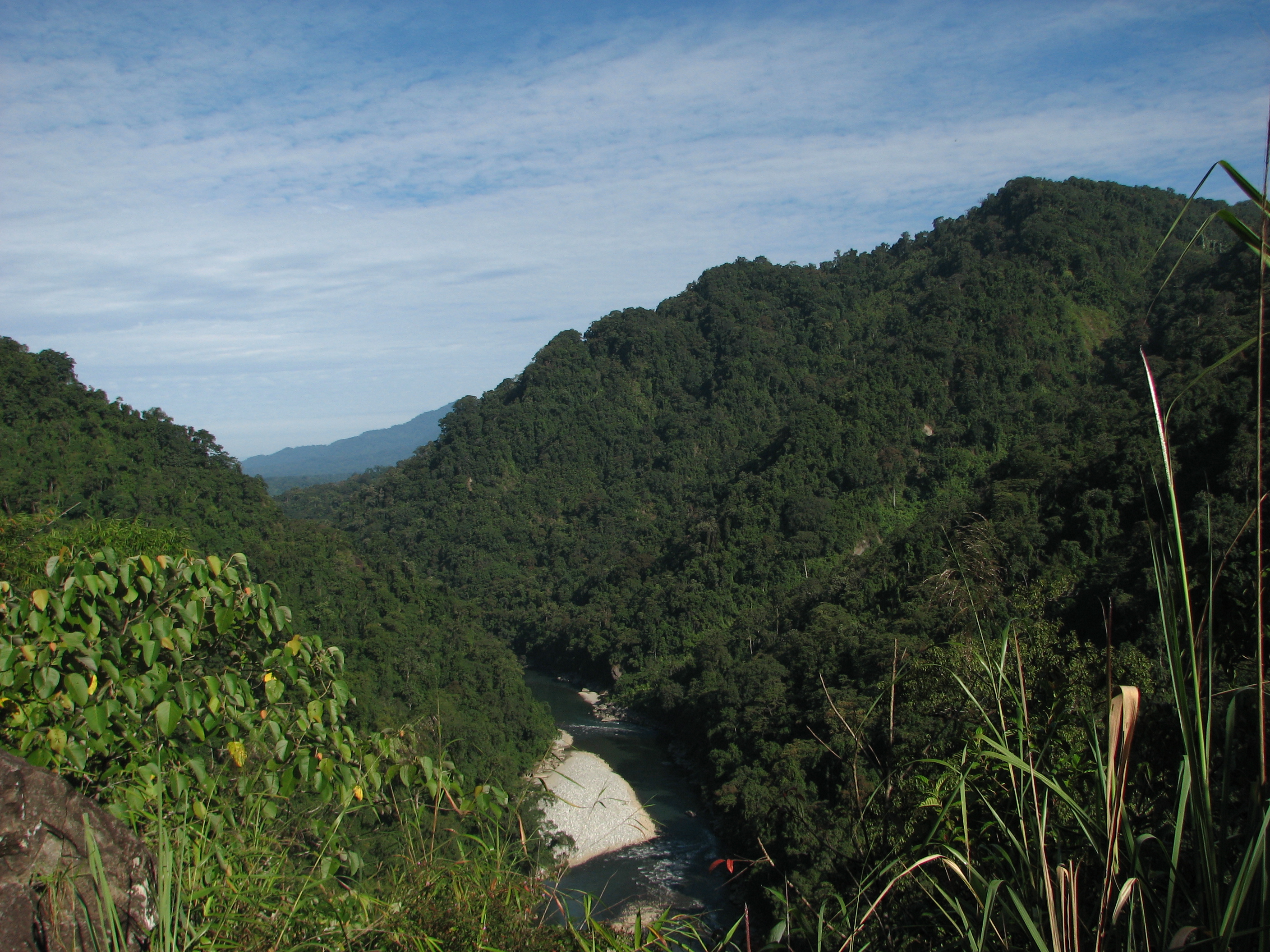
Forest carbon stock assessment and monitoring: A study in Indian tropical forest using ICESat-2 data
Abstract:
National Aeronautics and Space Administration’s (NASA) follow-on Ice, Cloud and land Elevation Satellite mission (ICESat-2) will be launched in 2017. The sensor configuration of ICESat-2 is different in many ways from the previous mission ICESat. Spatial resolution will be higher and micro-pulse photon concept has been introduced in the new mission. These offers an ample opportunity to monitor forest biophysical parameters and estimate derived products from those biophysical parameters in better way. Also the processing, analyzing and interpretation of the new datasets are challenging and interesting in the research and development point of view. The operational use of ICESat-2 spaceborne LiDAR data may pave the way of speedy and accurate estimation of India’s forest biomass and carbon sequestration potential.
One of the primary interests of this study is to assess and monitor forest biomass and carbon stock using ICESat-2 simulated datasets. The second objective is to monitor the seasonal variation of Leaf area index (LAI) from ICESat-2/ATL data. And finally a forest informatics system will be developed for end user. The end user may be forest departments, Ministry of Environment, Forest and Climate Change (MoEFCC), Forest Survey of India (FSI) or the institutes/organisations in India involving forestry research.
SDT Member Partner:
Co-Investigator(s):
- Surajit Ghosh, Forestry and Ecology Department, Indian institute of Remote Sensing, Indian Space Research Organisation; Role: Field data collection, ICESat-2/ALT data analysis and interpretation.
- Parshant Dhanda, Divisional Forest Officer, Forest Department, Govt. of Assam; Role: Field data collection, ICESat-2/ALT data analysis and interpretation.
- Bijendra Longjam, Role: Field data collection, ICESat-2/ALT data analysis and interpretation.
End Users:
Forest Department, Govt. of Assam, India (POC: Parshant Dhanda, IFS, Divisional Forest Officer)
References:
- Blasco, F., Saenger, P., & Janodet, E. (1996). Mangroves as indicators of coastal change. Catena, 27(3), 167-178.
- Gholz, H. L. (1982). Environmental limits on aboveground net primary production, leaf area, and biomass in vegetation zones of the Pacific Northwest. Ecol. 63(2), 469-481.
- Jacquemyn, H., Butaye, J., & Hermy, M. (2003). Influence of environmental and spatial variables on regional distribution of forest plant species in a fragmented and changing landscape. Ecography, 26(6), 768-776.
- Kumar, R., Nandy, S., Agarwal, R., & Kushwaha, S. P. S. (2014). Forest cover dynamics analysis and prediction modeling using logistic regression model. Ecological Indicators, 45, 444-455.
- Kushwaha, S. P. S., & Nandy, S. (2012). Species diversity and community structure in sal (Shorea robusta) forests of two different rainfall regimes in West Bengal, India. Biodiversity and Conservation, 21(5), 1215-1228.
- Main-Knorn M, Cohen WB, Kennedy RE, et al. (2013) Monitoring coniferous forest biomass change using a Landsat trajectory-based approach. Remote Sensing of Environment 139: 277–290.
- Main-Knorn M, Cohen WB, Kennedy RE, et al. (2013) Monitoring coniferous forest biomass change using a Landsat trajectory-based approach. Remote Sensing of Environment 139: 277–290.
- Manna, S., Nandy, S., Chanda, A., Akhand, A., Hazra, S., & Dadhwal, V. K. (2014). Estimating aboveground biomass in Avicennia marina plantation in Indian Sundarbans using high-resolution satellite data. Journal of Applied Remote Sensing, 8(1), 083638-083638.
- Moussavi, M. S., Abdalati, W., Scambos, T., & Neuenschwander, A. (2014). Applicability of an automatic surface detection approach to micro-pulse photon-counting lidar altimetry data: implications for canopy height retrieval from future ICESat-2 data. International Journal of Remote Sensing, 35(13), 5263-5279.
- Myneni, R. B., Ramakrishna, R., Nemani, R., Running, S. W. (1997). Estimation of global leaf area index and absorbed PAR using radiative transfer models. Geoscience and Remote Sensing IEEE Transactions on. 35(6), 1380-1393.
- Nandy, S., & Kushwaha, S. P. S. (2011). Study on the utility of IRS 1D LISS-III data and the classification techniques for mapping of Sunderban mangroves. Journal of Coastal Conservation, 15(1), 123-137.
- Owen, K. E., Tenhunen, J., Reichstein, M., Wang, Q., Falge, E., Geyer, R., et al., (2007). Linking flux network measurements to continental scale simulations: Ecosystem carbon dioxide exchange capacity under non‐water‐stressed conditions. Glob. Chang. Biol. 13(4), 734-760
- Peregon A and Yamagata Y (2013). The use of ALOS/PALSAR backscatter to estimate above-ground forest biomass: A case study in Western Siberia. Remote Sensing of Environment 137:139–146
- Peregon A and Yamagata Y (2013).The use of ALOS/PALSAR backscatter to estimate above-ground forest biomass: A case study in Western Siberia. Remote Sensing of Environment 137:139–146
- Satya,Upreti, D.K., & Nayaka, S. (2005). Shorea robusta—an excellent host tree for lichen growth in India. Current Science, 89(4), 594–595.
- Troup, R.S. (1921). The silviculture of Indian trees, vol I. Clarendon Press, Oxford.
- Waring, R.H., Pitman, G.B. (1985). Modifying lodge pole pine stands to change susceptibility to mountain pine-beetle attack. Ecology, 889-897.