Hunter College of The City University of New York
Vegetation maps with on-demand fusion of remote sensing data for potential use of U.S. Forest Service inventories and fire fuel estimates.
Forestry and Ecology Department, Indian Institute of Remote Sensing, Indian Space Research Organisation
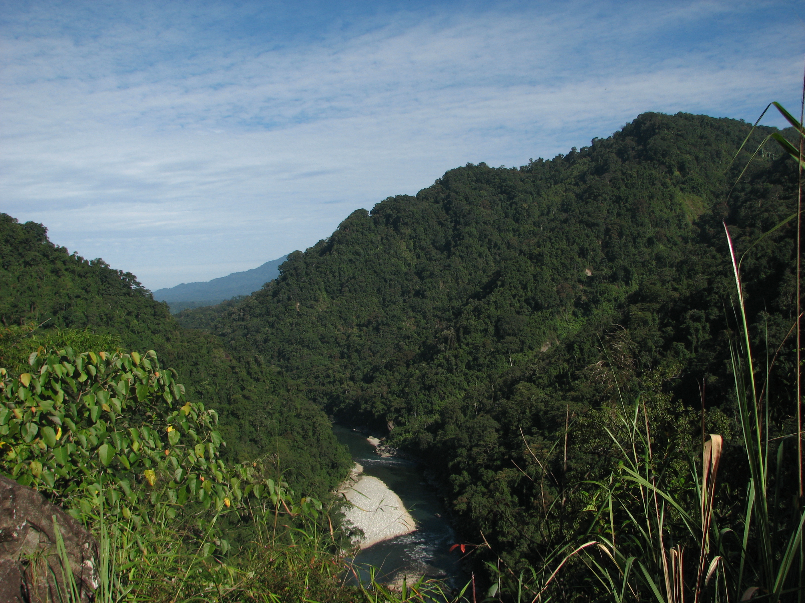
Forest carbon stock assessment and monitoring: A study in Indian tropical forest using ICESat-2 data
Boise State University, Boise Center Aerospace Laboratory
Use of ICESat-2 data for improved terrestrial carbon estimates with semiarid ecosystem structure.
Virginia Polytechnic Institute and State University
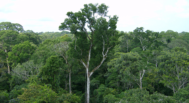
Mapping pine plantation productivity using ATL08.
ATLAS Data Product Used: ATL08
USGS Earth Resources Observation and Science Center
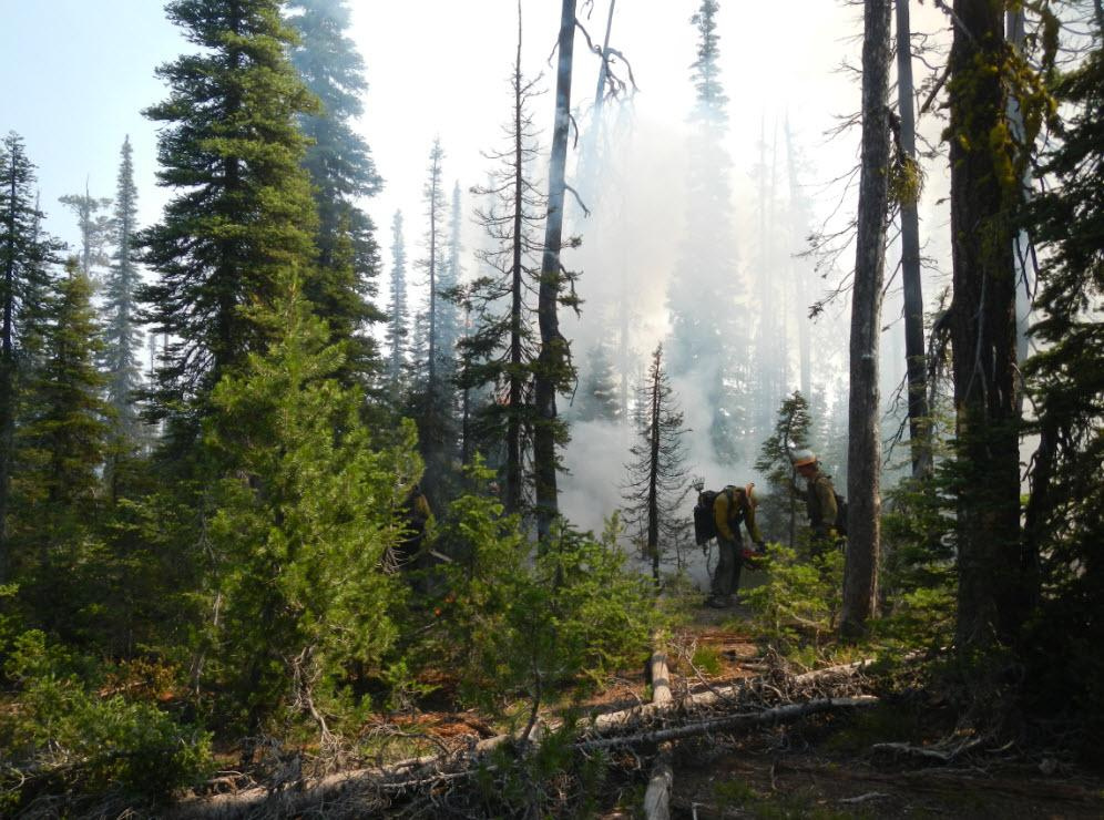
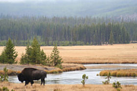
Evaluation of ICESat-2 ATLAS data for wildland fuels assessments.
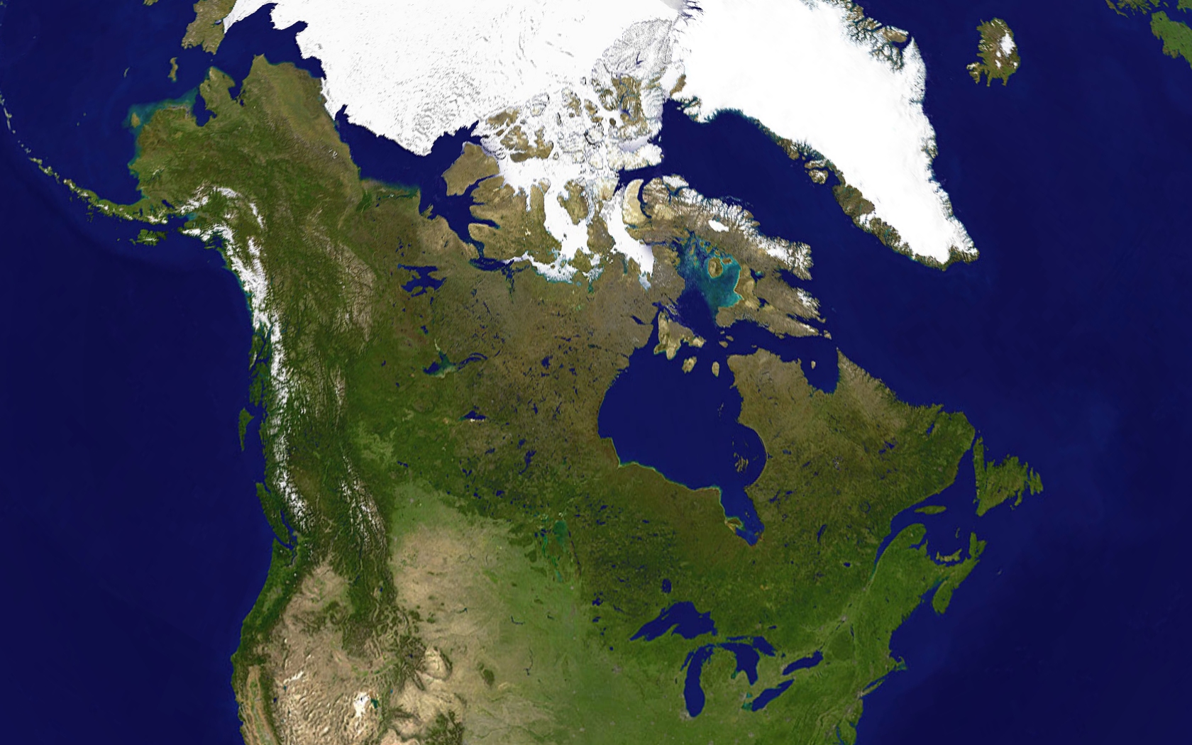
University of Alaska Fairbanks, Geophysical Institute; Institute of Arctic Biology
Continuous monitoring of boreal forests and Arctic tundra, using ICESat-2 prelaunch data in high latitude terrestrial ecosystems.