With new data from ICESat-2 about Earth's heights, researchers and resource managers anticipate advancements in several applications areas. White papers describe how ICESat-2 measurements can contribute to improve decision making around specific environmental issues.
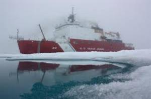
Managing our Rapidly Changing Arctic

How does the Naval Research Laboratory Help
Ships Navigate Through the Arctic?
Lead: Sabrina Delgado Arias
Download PDF
Ships Navigate Through the Arctic?
Lead: Sabrina Delgado Arias
Download PDF

How can we support safe navigation in sea ice and food security for Alaskan subsistence hunters in a rapidly changing and less predictable Arctic?
Lead: Leads: Lisa Sheffield Guy (Arctic Research Consortium of the U.S.), Rebecca Heim (National Weather Service, Alaska Region), Helen V. Wiggins (Arctic Research Consortium of the U.S.)
Download PDF
Lead: Leads: Lisa Sheffield Guy (Arctic Research Consortium of the U.S.), Rebecca Heim (National Weather Service, Alaska Region), Helen V. Wiggins (Arctic Research Consortium of the U.S.)
Download PDF
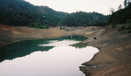
Managing and Protecting of Our Terrestrial and Water Resources

Lead: Sabrina Delgado Arias
Download PDF
Reducing Loss of Life and Property from Disasters

How can ICESat-2 contribute to identifying and tracking icebergs in shipping lanes?
Lead: Molly Brown
Download PDF
Lead: Molly Brown
Download PDF

How can ICESat-2 contribute to mapping of potential fuel in forests that may lead to hazardous wildfires?
Lead: Molly Brown
Download PDF
Lead: Molly Brown
Download PDF