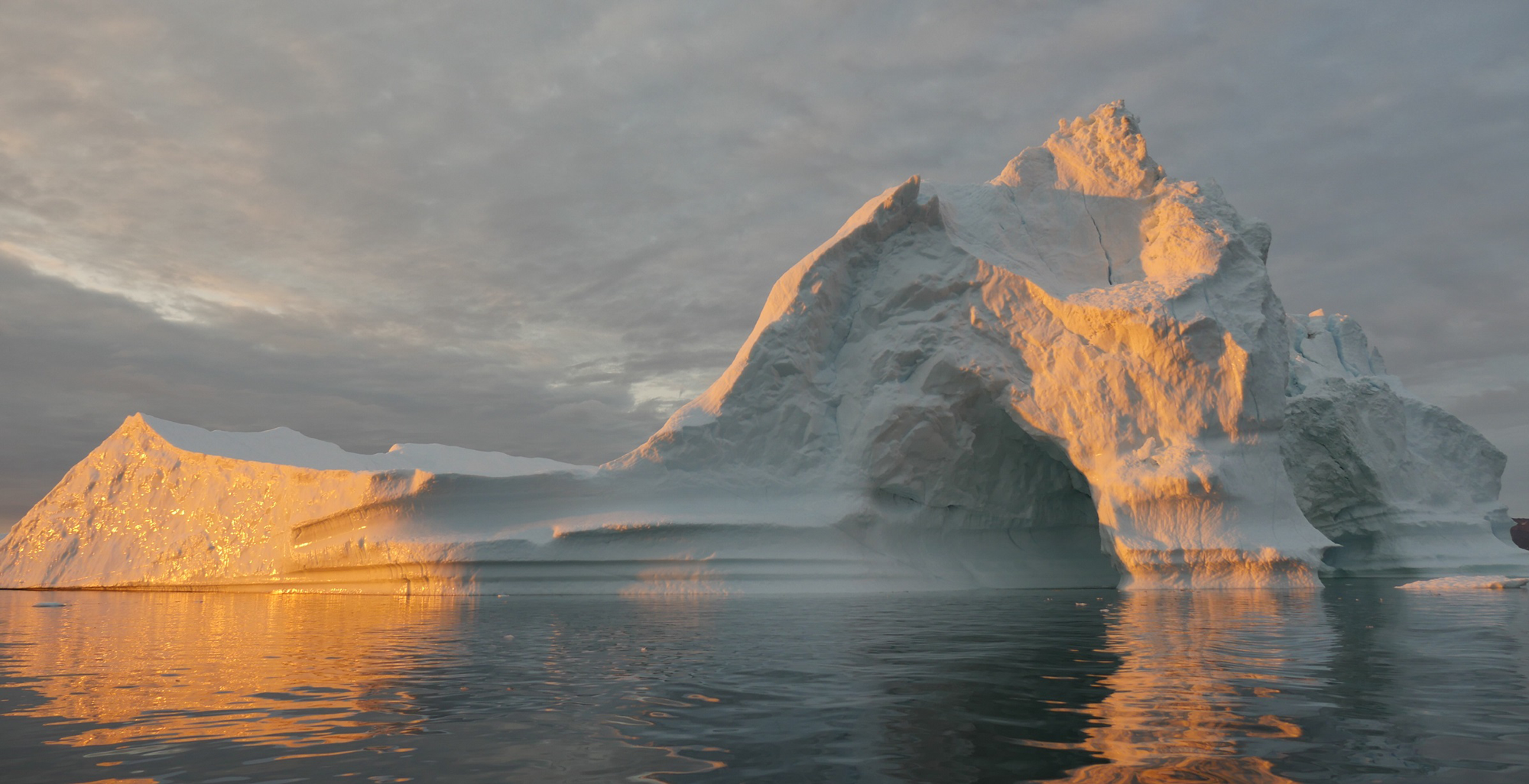
Ice
Earth’s frozen regions – the cryosphere – are changing rapidly in our warming climate. And what happens in the cryosphere does not stay in the cryosphere. Our climate depends on the poles: Disappearing sea ice can interfere with the large-scale ocean circulation patterns that buffer climate extremes. Melting glaciers and ice sheets raise sea level.
Far-Reaching Impacts
What happens in the cryosphere doesn't stay in the cryosphere - melting ice changes the global environment.
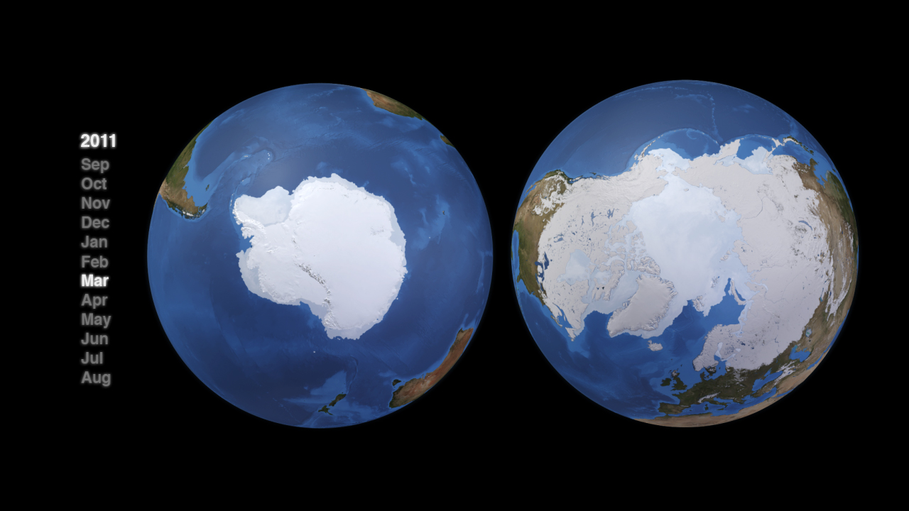
Ice science is a multifaceted field of study, and the ICESat-2 mission is designed to investigate the different forms of frozen water in its varied locations. Ice on land is different from ice floating on water -- land ice builds up from centuries' worth of snowfall; sea ice forms when the salty polar ocean freezes. Earth's frozen poles are different environments -- the North Pole lies within an ice-covered ocean, surrounded by land including Greenland and its ice sheet. The South Pole lies on ice-covered land, surrounded by oceans.
ICESat-2's sole instrument, ATLAS, collects elevation data using six laser beams - which gives the new mission much denser coverage of Earth's surface.

BEYOND THE POLES
The original ICESat had a single laser beam, collecting data in a grid shown to the left. With ICESat-2's six laser beams, the satellite will be able to take measurements in a much denser grid, as seen on the right. (NASA)
Other Earth-observing satellites, such as Landsat and MODIS, allow researchers to study the location and extent of forests; ICESat-2 allows them to add the height. Because ATLAS is sensitive enough to detect individual photons, and has such a rapid firing rate, the instrument is able to detect both the forest floor and the tops of canopies in all but the densest woods and jungles.

With the new dimension, scientists can calculate the amount of vegetation – the trunks, branches, leaves, shrubs and more – that make up an area’s biomass. Studying the gain or loss of biomass can inform calculations of the carbon that forests either take in or release into the atmosphere.
The ICESat-2 mission creates a dense grid of measurements across the world, gathering information of the heights of cities, waterways, reservoirs, wetlands, agricultural fields, tundra… the satellite is always on, when it’s operational it will collect a terabyte of data every day.

Flying over the frozen boreal plains of Canada, for example, it can detect melting of the permafrost as the thawing ground settles. Over the coastal oceans, it could detect changes in tides (CHK). With before and after measurements, it could measure ground movements following a major earthquake or volcanic eruption, or the effects of landslides and avalanches.
While ICESat-2’s laser beams can stream through some wispy clouds, other clouds block the beam, reflecting light back to the satellite. Cloudy days aren’t necessarily bad news, however – atmospheric scientists will be able to gather information on the cloud heights, composition, density and more to advance the field of cloud physics. With the satellite's ability to detect elevation change on such a fine scale, scientists are expecting the data to continually lead to unexpected new discoveries.
On the Shoulders of ICESat
From 2003 to 2009, the ICESat mission provided multi-year elevation data needed to determine ice sheet mass balance as well as cloud property information, especially for stratospheric clouds common over polar areas. It also provided topography and vegetation data around the globe, in addition to the polar-specific coverage over the Greenland and Antarctic ice sheets.
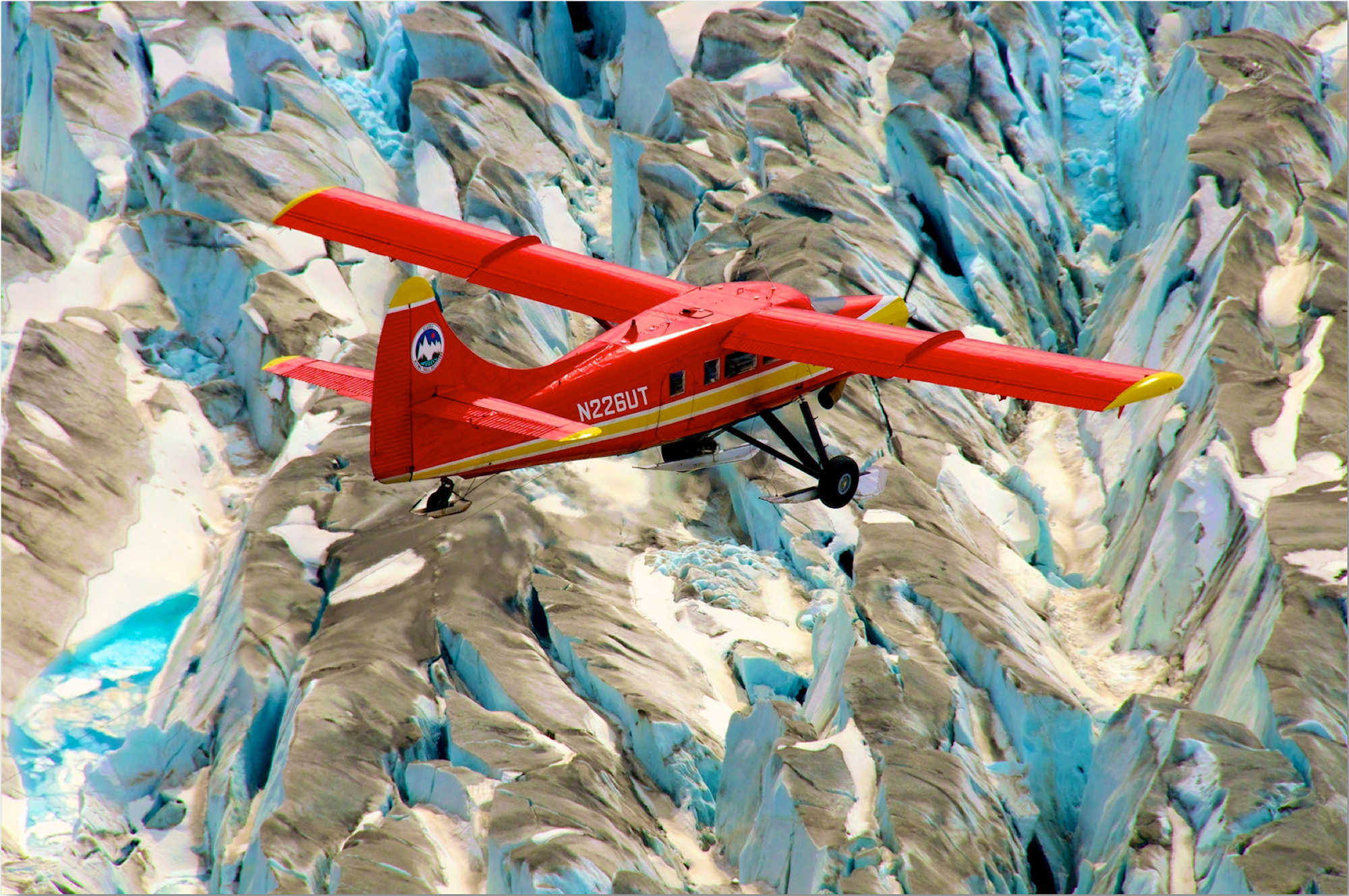
Following ICESat, NASA began an airborne campaign called Operation IceBridge. The mission of IceBridge was to collect data on changing polar land and sea ice and maintain continuity of measurements between the first ICESat and ICESat-2 missions. IceBridge, which began in in 2009, was funded until 2019. The planned overlap with ICESat-2 helped scientists validate the satellite’s measurements.

The extensive data IceBridge gathered over the Greenland ice sheet during its six years of operations provided an improved picture of the surface, the bed and the internal structures of Greenland’s ice sheet and allowed scientists to create more accurate models of glacier contribution to sea level rise. As for sea ice, IceBridge’s measurements of the thickness of sea ice and its snow cover assisted in improving forecasts for summertime melt, enhanced the understanding of variations in ice thickness distribution from year to year, and up-dated the climatology of the snow depth over sea ice. IceBridge flew yearly campaigns to measure the Antarctic ice sheet and surrounding sea ice.