

Your Guides
Meet Paige and Pho - your guides through the ICESat-2 FunZone! Join these two to learn more about the NASA ICESat-2 mission.

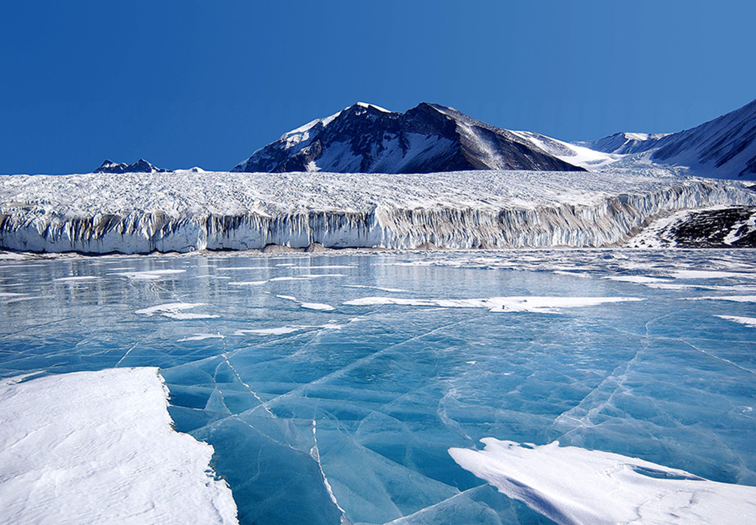
ICESat-2 is a satellite mission that measures the height of Earth's ice-covered regions to track melting and other changes. From space, it also measures the height of other features of our planet, including trees and shrubs, lakes and buildings.
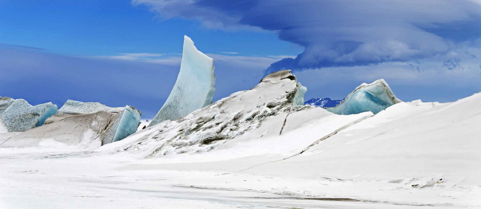
Ice comes in many forms here on Earth, like mountain glaciers and frozen lakes, but most of it is found near the North Pole and South Pole. With temperatures on our planet warming up, many of these icy areas are melting.
Videos
Click on any item to see the video.

Join Paige & Pho with ICESat-2’s Dr. Nathan Kurtz to learn what’s going on with sea ice.

Join Paige & Pho with ICESat-2’s Dr. Denis Felikson to learn what’s going on with ice sheets.

You can create an ICESat-2 Micro-environment model by using common things found around your house. The ICESat-2 Micro-environment allows you to identify the Earth objects that ICESat-2 can measure, the elevation of, from space.
Activities
Check out the Biome Buddies Booklet to learn more about the ecosystems ICESat-2 measures, with our friends, the Biome Buddies!

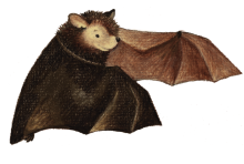
Explore the Adventures of Echo the Bat in which ICESat-2 is featured in the active remote sensing section. The book is written and illustrated by Ginger Butcher and sponsored by our Landsat partners featuring Landsat images in Arizona and ICESat-2 data over the Grand Canyon.
See what happens when sea ice and land ice melt in this DIY activity. Note: Aquarium not required!

Interactives

EO Kids: 'Ice on Earth'
NASA Earth Observatory for Kids (EO Kids) is looking at a “cool” topic, ice on Earth.
Check it out HERE! In the issue, kids (or adults) can learn about how NASA is monitoring and measuring both land and sea ice on Earth. Plus, they can follow along and read first-hand experiences from a team of ice scientists in Antarctica in “Notes from the Field: Sledding Around Antarctica.”
Fun Links
Learn more about Earth's climate!
Earth Observatory for Kids Online Magazine with fun hands-on activities!
Explore changes in sea ice extent with this Sea Ice and the Earth System Story Map!
Manipulate a 3D Satellite with NASA Eyes on the Earth.