Main Menu

Join the Applied Users Program

Interested in submitting a proposal? If you want to nominate yourself or others to be an Applied User, contact us at: icesat-2-applications@lists.nasa.gov

Applied Users

The ICESat-2 Applied Users program promotes applications research to provide a fundamental understanding of how ICESat-2 data products can be scaled and integrated into organizations' policy, business, and management activities to improve decision-making efforts.

WHO ARE APPLIED USERS?

ICESat-2 Applied Users (AUs) are defined as those groups and individuals who have a direct or clearly defined need for ICESat-2 data, who have an existing application, who have an interest in utilizing a proposed ICESat-2 product, and who are capable of applying their own resources (funding, personnel, facilities, etc.) to demonstrate the utility of ICESat-2 data for their particular system or model. Applied Users includes ICESat-2's 24 Early Adopters who committed to engage in pre-launch research to accelerate the integration of ICESat-2 products after launch in their specific application. Meet our applied users.

WHAT IS THE GOAL OF THE APPLIED USER DESIGNATION?

The goal of the Applied User designation is to provide individuals and groups with the unique opportunity to partner with ICESat-2 mission scientists in their discovery of the data. Applied Users commit to engage in post-launch research with specific support from the Mission and Applications Team, not only to accelerate the integration of ICESat-2 products into their specific application, but to provide the Mission with valuable feedback on how ICESat-2 can be used for decision support.

YOUR BENEFITS

  • Get support from a Science Definition Team (SDT) or Project Science Office (PSO) member: after acceptance into the program, you will join an SDT or PSO member as a partner and receive direct guidance and support on the functionality of the data products.
  • Participate in quarterly webinars: the Applications team will host a quarterly webinar for Applied Users to share updates on the mission status, provide support and information on the data products, gather feedback, share schedules and timelines, and answer questions.
  • Be in the know about ICESat-2: As an AU, you will be among the first to know about any new features of the science data products and to receive updates on the mission and ICESat-2 field campaigns.
  • Get access to calibration and validation (cal/val) data: AU will be granted access to cal/val data from ICESat-2 field campaigns, modeling and synergistic studies via electronic file transfer, either through the ICESat-2 website or through the Distributed Active Archive Center (DAAC) at National Snow and Ice Data Center (NSIDC)
  • Reference lessons learned: AU will have the opportunity to interact and exchange lessons learned with the mission’s Early Adopters during quarterly webinars and at the various applications events.

MEET OUR APPLIED USERS (Listed by PI)

Andrew Roberts, Alexandra Jahn, Adrian Turner

Los Alamos National Laboratory; University of Colorado at Boulder; Los Alamos National Laboratory

Applied Research Topic

An ICESat-2 emulator for the Los Alamos sea ice model (CICE) to evaluate DOE, NCAR, and DOD sea ice predictions for the Arctic.

Andri Gunnarsson

National Power Company Iceland

Applied Research Topic

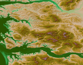
Using ICESat-2 data to improve winter mass balance estimates and short/midterm melt seasons forecasting for hydro power operations in Iceland

Andy Mahoney

University of Alaska Fairbanks (UAF), Geophysical Institute

Applied Research Topic

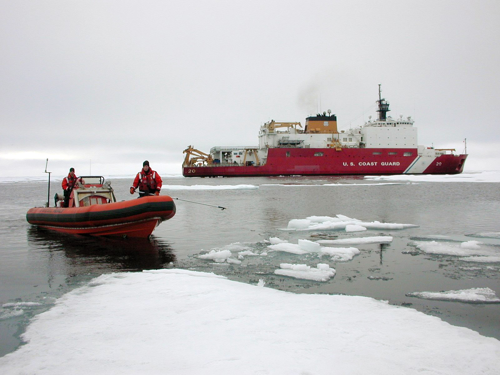
Repeat altimetry of coastal sea ice to map landfast sea ice (fast ice) extent for research and operational sea ice analysts.

Birgit Peterson

USGS Earth Resources Observation and Science Center

Applied Research Topic

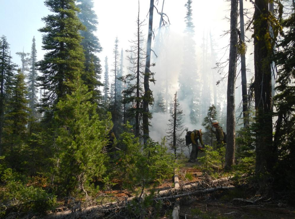
Evaluation of ICESat-2 ATLAS data for wildland fuels assessments.

Douglas C. Comer

Cultural Site Research and Management Foundation

Applied Research Topic

Archaeological Applications of ICESat-2 Data

G. Javier Fochesatto and Falk Huettmann

University of Alaska Fairbanks, Geophysical Institute; Institute of Arctic Biology

Applied Research Topic

Continuous monitoring of boreal forests and Arctic tundra, using ICESat-2 prelaunch data in high latitude terrestrial ecosystems.

Hongjie Xie

University of Texas at San Antonio

Applied Research Topic

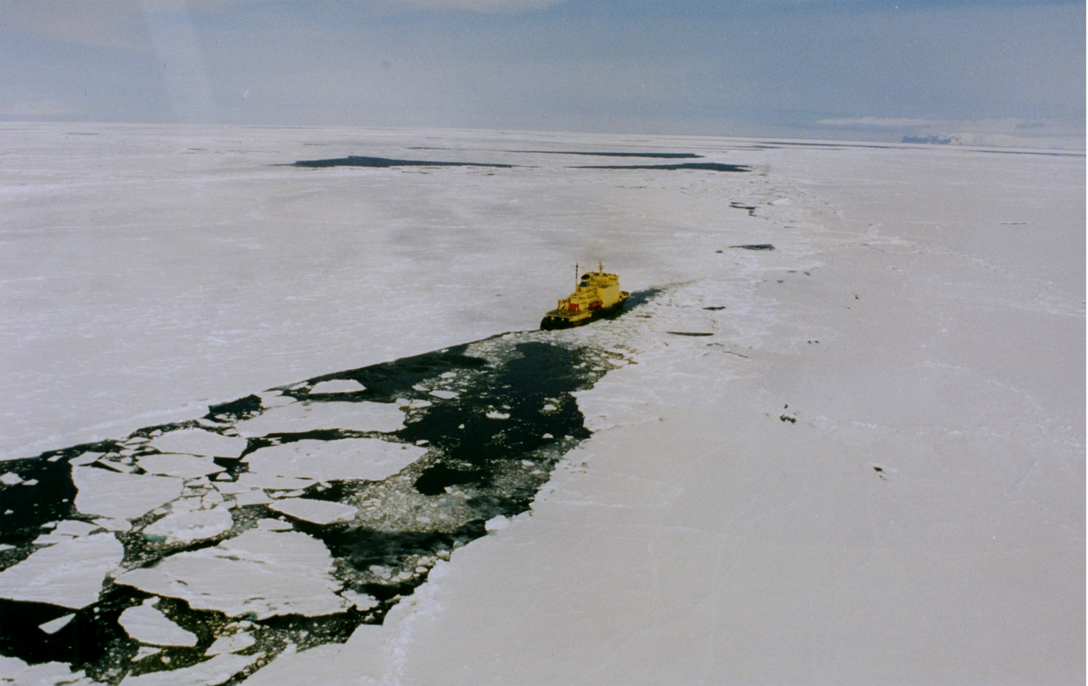
Developing effective algorithms for ICESat-2 for improving observations and forecasting of freeboard, ice thickness, and leads in NOAA operational ice charts for southern oceans

J. Toby Minear

University of Colorado, Boulder

Applied Research Topic

ICESat-2 for Applied Hydrology and Inland Bathymetry.

Merete Badger and Kenneth Grogan

Danish Technical University; DHI-GRAS A/S

Applied Research Topic

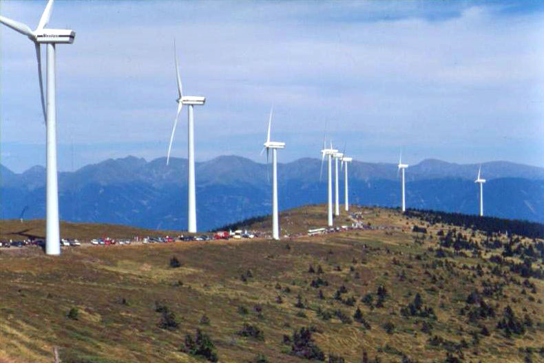
A Danish innovation funded project on optimizing wind energy estimates using satellite data

Nancy F. Glenn

Boise State University, Boise Center Aerospace Laboratory

Applied Research Topic

Use of ICESat-2 data for improved terrestrial carbon estimates with semiarid ecosystem structure.

Sérgio Godinho

University of Évora, Portugal

Applied Research Topic

Assessing the usefulness of ICESat-2 data for wildland fuel mapping.

Stephen Howell

Environment and Climate Change Canada

Applied Research Topic

Use of ICESat-2 data for Environment and Climate Change Canada observational applications and prediction systems.

Subrata Nandy

Forestry and Ecology Department, Indian Institute of Remote Sensing, Indian Space Research Organisation

Applied Research Topic

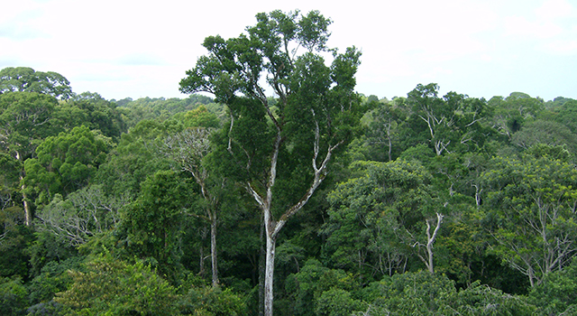
Forest carbon stock assessment and monitoring: A study in Indian tropical forest using ICESat-2 data

Ute Herzfeld

University of Colorado Boulder

Applied Research Topic

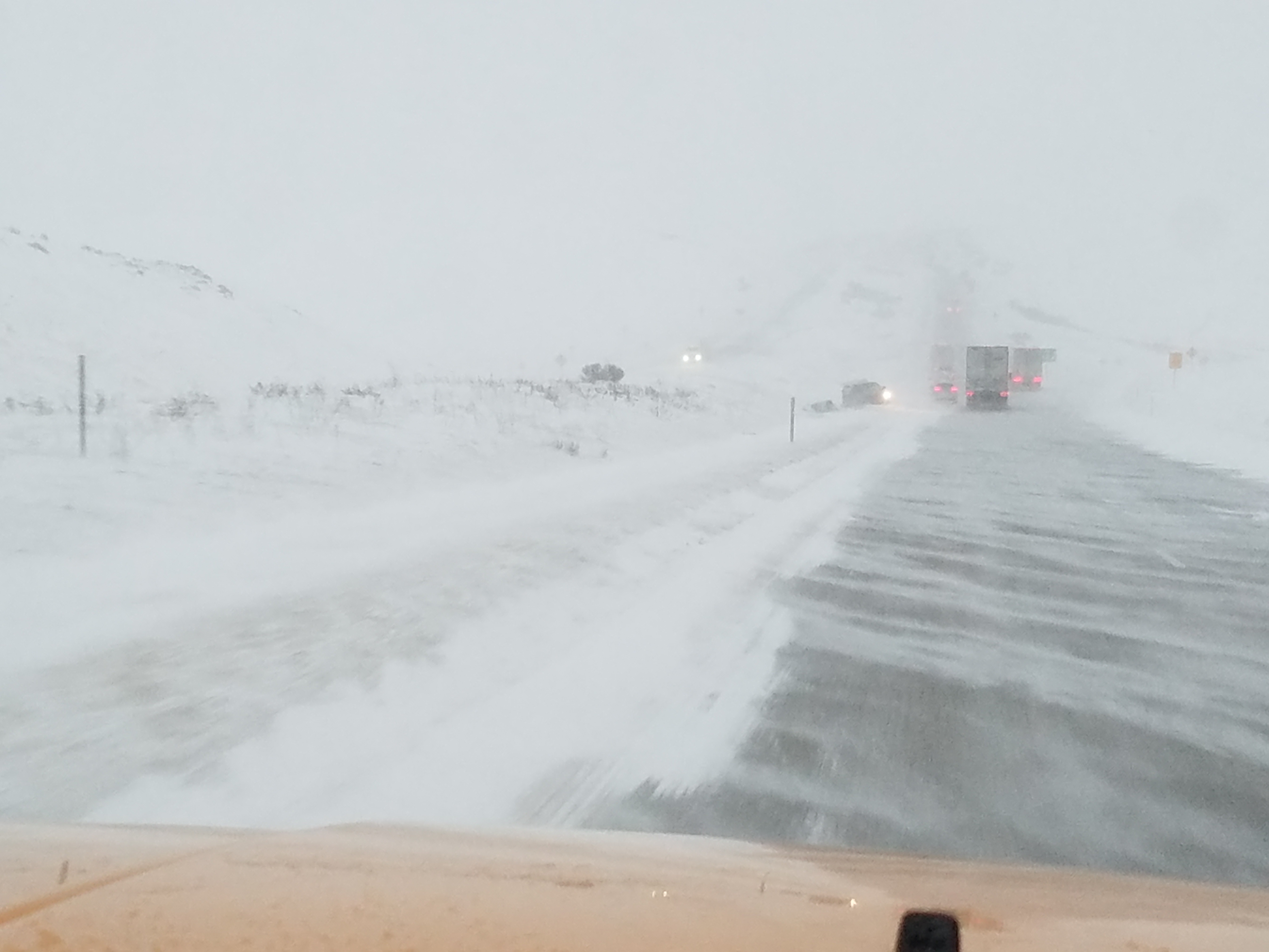
Detection and Mapping of Blowing Snow from ICESat-2 Data: Applications to Ice-Sheet Mass Balance and Transportation

Charon Birkett

NASA Goddard Space Flight Center

Applied Research Topic

Laser altimetry data for studying lake and river dynamics with a focus on the complexities of high-latitude regions. Applications include pre- and post-flood analysis (ice-dam breaks) and conservation (fish and wildfowl habitat), with particular reference to variations caused by changes in regional climate.

ATLAS Data Product Used: ATL13 and ATL03

Christopher E. Parrish

Oregon State University

Applied Research Topic

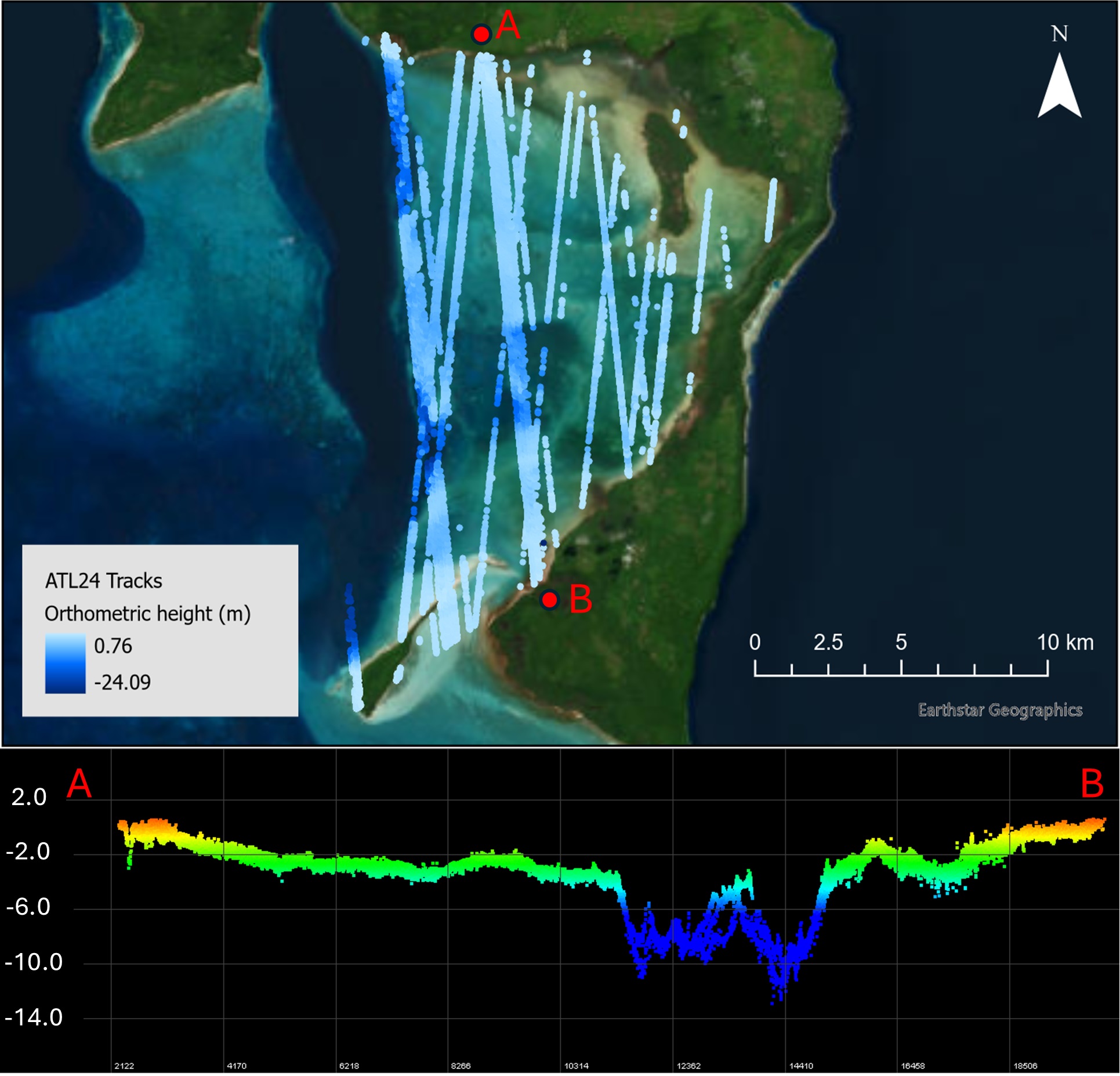
Satellite bathymetry derived from ICESat-2.

Guy J-P. Schumann

Remote Sensing Solutions, Inc., University of Colorado Boulder

Applied Research Topic

Assessments of the value of the ATL13 inland water level product for the Global Flood Partnership

ATLAS Data Product Used: ATL13

Huilin Gao

Department of Civil and Environmental Engineering, Texas A&M University

Applied Research Topic

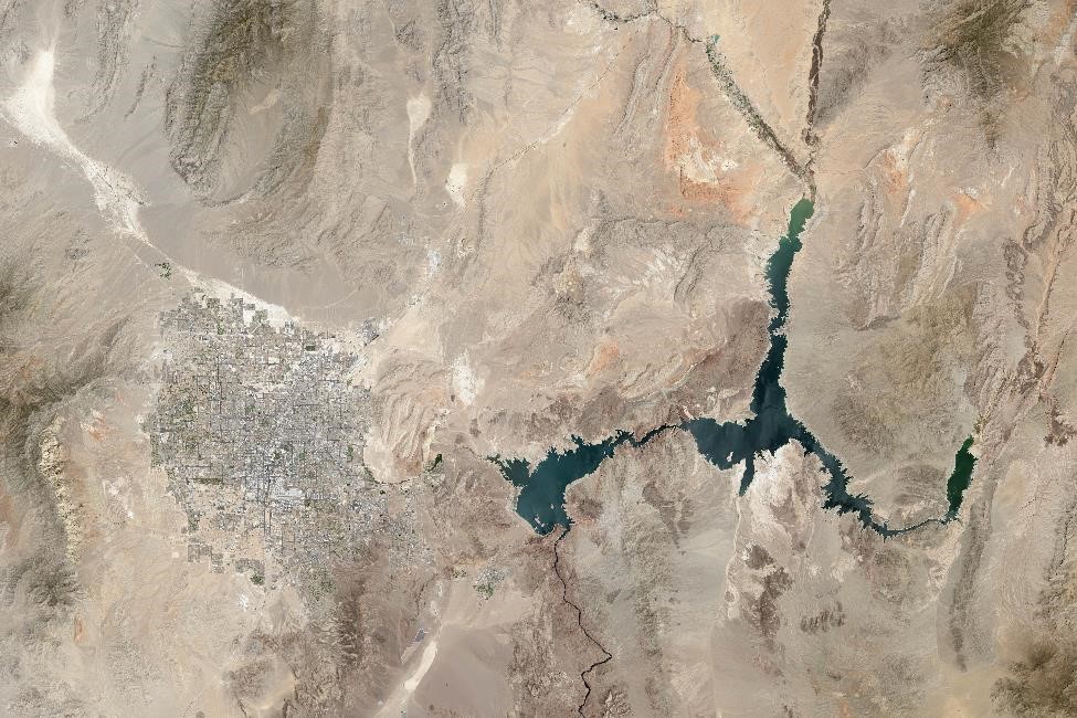
Monitoring reservoir storage in the Western US using ICESat-2 and HLS observations

ATLAS Data Product Used: ATL08

Kuo-Hsin Tseng

National Central University, Taiwan, Center for Space and Remote Sensing Research

Applied Research Topic

Use of ICESat-2 and Sentinel-2 to Map Shallow Water Bathymetry for Islands in the South China Sea

ATLAS Data Product Used: ATL03

Michael MacFerrin

Cooperative Institute for Research in Environmental Sciences (CIRES), National Centers for Environmental Information (NCEI), National Oceanographic and Atmospheric Administration (NOAA)


Applied Research Topic

Using ATLAS data from ICESat-2 to validate the Elevations Reporting Tool (IVERT).

Randy Wynne

Virginia Polytechnic Institute and State University

Applied Research Topic

Mapping pine plantation productivity using ATL08.

ATLAS Data Product Used: ATL08

Richard Allard

Naval Research Laboratory

Applied Research Topic

Use of ICESat-2 data as a Validation Source for the U.S. Navy's Ice Forecasting

Ross Smith

TCARTA Marine LLC

Applied Research Topic

ICESat-2 for Calibration and Validation of Multi-Method Satellite Derived Bathymetry.

ATLAS Data Product Used: ATL08

Vanesa Magar

Ensenada Center for Scientific Research and Higher Education (CICESE)

Applied Research Topic

ATL08 analyses for bottom roughness and topography studies in Mexico, with applications to weather modelling and wind energy resource characterization.

ATLAS Data Product used: ATL08

Wenge Ni-Meister

Hunter College of The City University of New York

Applied Research Topic

Vegetation maps with on-demand fusion of remote sensing data for potential use of U.S. Forest Service inventories and fire fuel estimates.