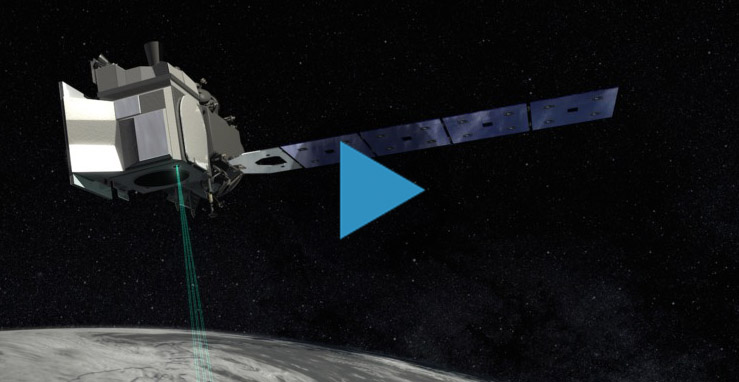
Main Menu
PI/Institution

Subrata Nandy (Early Adopter)

Forestry and Ecology Department, Indian Institute of Remote Sensing, Indian Space Research Organisation

Applied Research Topic

Forest carbon stock assessment and monitoring: A study in Indian tropical forest using ICESat-2 data

PI/Institution

Birgit Peterson (Early Adopter)

USGS Earth Resources Observation and Science Center

Applied Research Topic

Evaluation of ICESat-2 ATLAS data for wildland fuels assessments.

ICESat-2 Deployment and Laser Pulses

The Ice, Cloud and land Elevation Satellite-2, or ICESat-2, is a laser altimeter that will measure the heights of Earth’s surfaces. This animation shows deployment of ICESat-2's solar panels, door, and laser pulses.

You can download high resolution Deployment and Laser Pulses video here.

Video Credit: NASA/GSFC

PI/Institution

G. Javier Fochesatto and Falk Huettmann (Early Adopters)

University of Alaska Fairbanks, Geophysical Institute; Institute of Arctic Biology

Applied Research Topic

Continuous monitoring of boreal forests and Arctic tundra, using ICESat-2 prelaunch data in high latitude terrestrial ecosystems.