Counting on NASA's ICESat-2

Here are 10 things to know about ICESat-2


Here are 10 things to know about ICESat-2

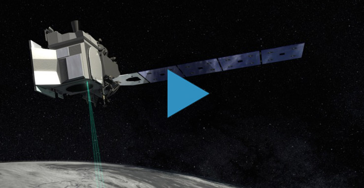
NASA will soon launch the most advanced laser instrument of its kind, beginning a mission to measure changes in the heights of Earth’s polar ice.

NASA’s Ice, Cloud and land Elevation Satellite-2 (ICESat-2) arrived at Vandenberg Air Force Base in California on Tuesday, June 12, three months before its scheduled launch on United Launch Alliance’s final Delta II rocket. After launch, slated for Sept. 12, 2018, ICESat-2 will use a laser instrument to measure the height of Earth’s surface in unprecedented detail.