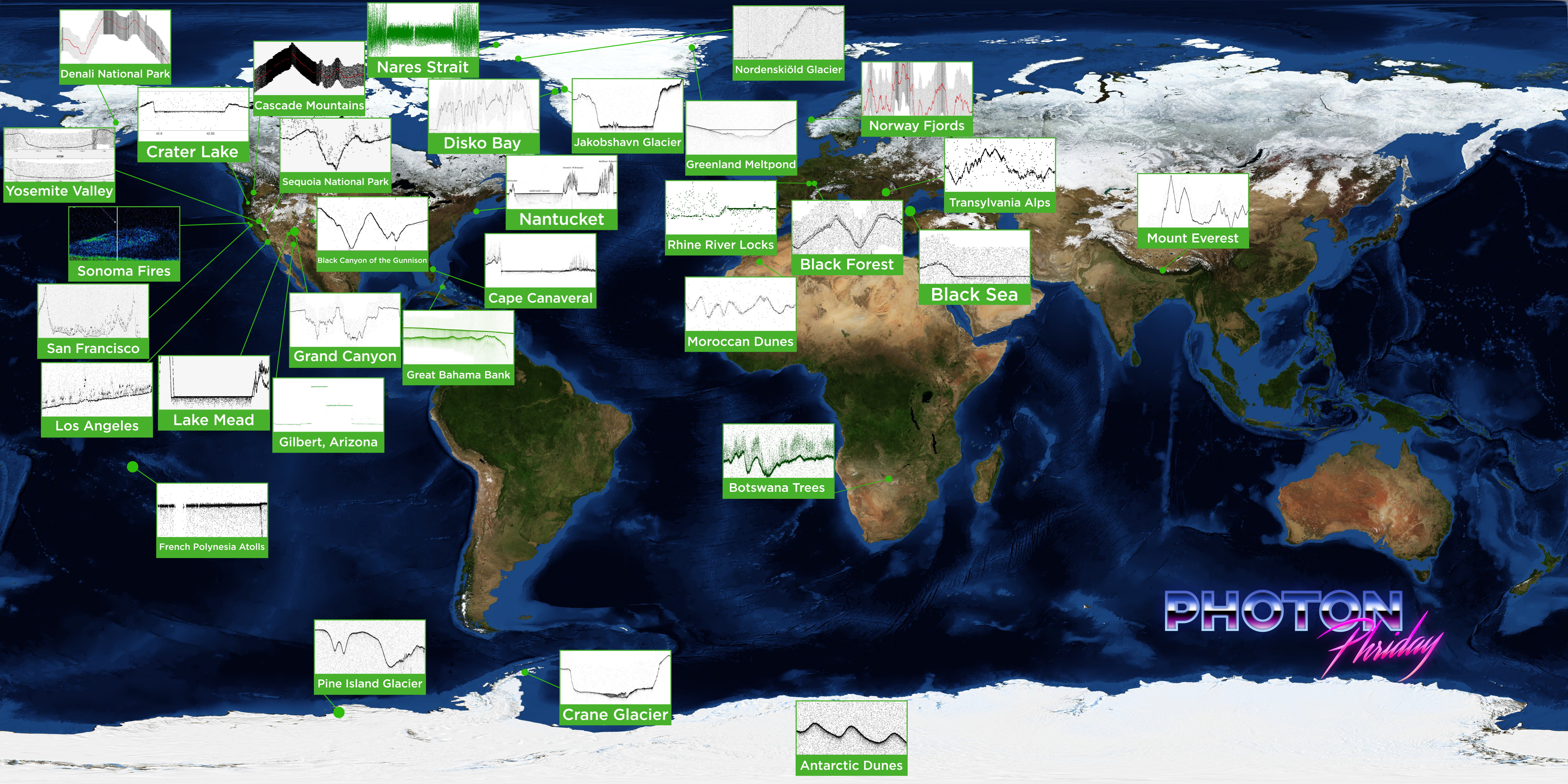
#PhotonPhriday was a weekly look at how ICESat-2 measures Earth – from Antarctic dunes to the Bahamas to Greenland’s glaciers. Check out the profiles of our planet below!


5/31    Disko Bay, Greenland

6/7      Pine Island Glacier

6/14    Grand Canyon, AZ

6/21    Nantucket, MA

6/28    Jakobshavn, Greenland

7/4      Yosemite Valley, CA

7/12    Crane Glacier, Antarctica

7/19    Cape Canaveral, FL

7/26    Crater Lake, OR

8/2      Mount Everest, Nepal

8/9      West Central Greenland meltponds

8/16    Los Angeles, CA

8/23    Great Bahama Bank

8/30    Dunes in Morocco; Megadunes in Antarctica

9/6      Nares Strait, Greenland

9/13    Gilbert, AZ

9/20    Nordenskiold Glacier, Greenland

9/27    Sequoia National Park, CA

10/4    Lake Mead, NV

10/11  Denali, AK

10/18  Rhine, France

10/25  Norwegian fjords

10/31  Transylvanian Alps

11/8    French Polynesian atolls

11/15  Forests of Botswana

11/22  Smoke clouds from Sonoma Fires

11/29  Black Forest (Germany), Black Sea (Istanbul), Black Canyon (Gunnison, CO)

12/6    San Francisco, CA

12/13  Cascade Mountains, Washington

10/29/21 Photon 'Phright Day' Look at ghost islands


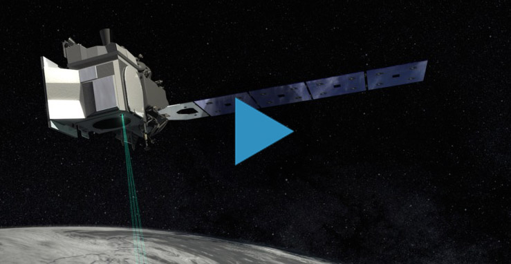
The Ice, Cloud and land Elevation Satellite-2, or ICESat-2, is a laser altimeter that will measure the heights of Earth’s surfaces. This animation shows deployment of ICESat-2's solar panels, door, and laser pulses.

Video Credit: NASA/GSFC

Download high resolution video here

Page URL:
Share on Social Media:
[X]