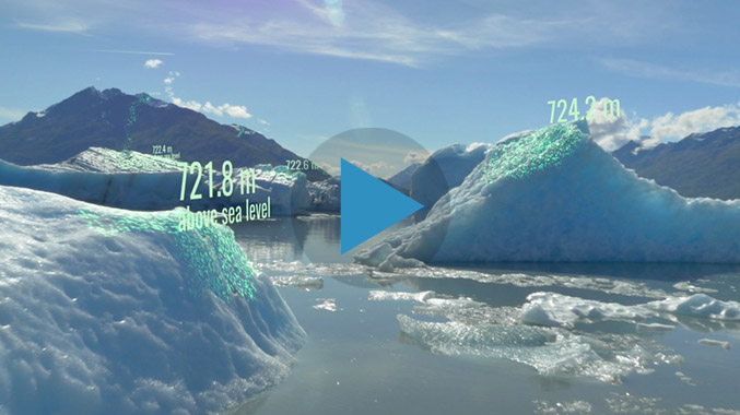
NASA's Advanced Laser to Measure Earth’s Changing Ice

NASA will soon launch the most advanced laser instrument of its kind, beginning a mission to measure changes in the heights of Earth’s polar ice.


NASA will soon launch the most advanced laser instrument of its kind, beginning a mission to measure changes in the heights of Earth’s polar ice.