

Randy Wynne (Early Adopter)
Virginia Polytechnic Institute and State University
Applied Research Topic:
Mapping pine plantation productivity using ATL08.
ATLAS Data Product Used: ATL08
Potential Applications:
Monitor forest-related harvesting and land use
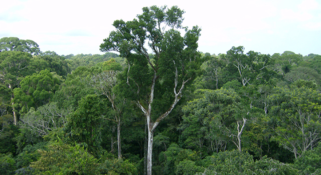
Abstract:
Virginia Tech researchers are developing ways to assess and map pine plantation productivity across the Southeast using ICESat-2 ATL08 data. We are initially focusing on using ATL08 canopy heights and age derived from Landsat forest disturbance products to model site index for actively managed stands. Most substantial canopy losses identified by operational forest disturbance products are clear-felling, but not all are, introducing uncertainty to stand age determination. A random consensus approach separates signal from noise in the age (Landsat) - height (ICESat-2) relationship. This work is now at application readiness level six, with the potential for integration into end-users’ decision-making.
SDT Member Partner:
Co-Investigator(s):
- Dr. Valerie Thomas is a Professor in the Department of Forest Resources and Environmental Conservation whose research interests include remote sensing of forest canopy structure and function.
- Ms. Sonia Sharma Banjade is a graduate student in the Interdisciplinary Graduate Education in Remote Sensing program, assessing the accuracy of ATL08 heights in different ecosystems and developing ways of mapping site index using ICESat-2 data.
End Users:
USDA Forest Service (POC: Todd Schroeder)