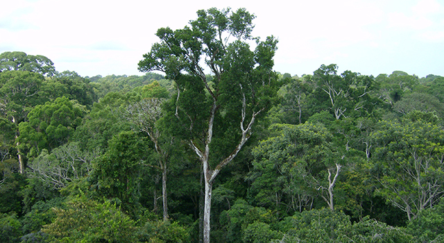
This visualization depicts how ICESat-2 data is being used to study vegetation canopy.
For high resolution and different versions, visit the SVS Gallery here.
Virginia Polytechnic Institute and State University
Mapping pine plantation productivity using ATL08.
ATLAS Data Product Used: ATL08