

Read about how ICESat-2 was impacted by recent solar storms here.
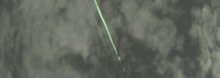
'That’s No Meteor: NASA Satellite’s Elusive Green Lasers Spotted at Work.' Read the NASA article here.


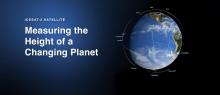


Here are 10 things to know about ICESat-2

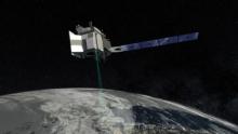
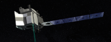
NASA will soon launch the most advanced laser instrument of its kind, beginning a mission to measure changes in the heights of Earth’s polar ice.
Ice, space lasers, penguins and a workhorse rocket’s last liftoff – it’s the stuff great tweets are made of.


We breathe in the oxygen they produce, clamber up their branches, pick their delicious fruits and sit in their shade – and now it’s time for trees to have the spotlight!


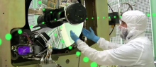
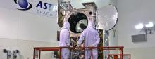
Close enough doesn’t cut it in a NASA Goddard’s Space Flight Center cleanroom, where engineers are building an elevation-measuring instrument to fly on ICESat-2
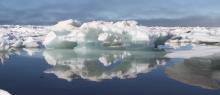
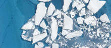
The 2016 melt season in the Arctic Ocean started with a bang, with a record low maximum extent in March and relatively rapid ice loss through May - before slowing down in June.

Before beaming 300 miles to Earth’s surface, bouncing off the ground and travelling another 300 miles back into space, ICESat-2's laser photons first have to complete a 7½-foot obstacle course.
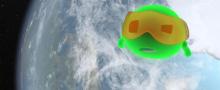
In August 2015, a NASA instrument flew over Greenland and the Arctic ocean to study how green laser light interacts with snow and ice.
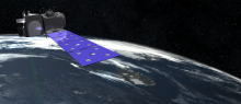
To catch individual laser photons that have traveled more than 600 miles from a satellite to Earth and back, the satellite's telescope needs to be perfectly positioned.