

Learn about the ICESat-2 Mission
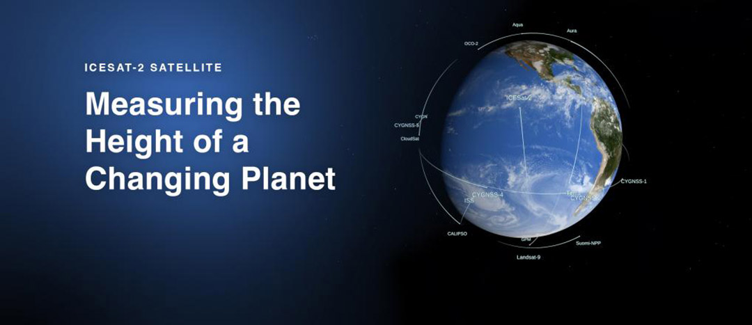
The Ice, Cloud and land Elevation Satellite-2, or ICESat-2, measures the height of a changing Earth – one laser pulse at a time, 10,000 laser pulses a second. Launched Sept. 15, 2018, ICESat-2 carries a laser altimeter that detects individual photons, allowing scientists to measure the elevation of ice sheets, sea ice, forests and more in unprecedented detail.
Our planet's frozen and icy areas, called the cryosphere, are a key focus of NASA's Earth science research. ICESat-2 will help scientists investigate why, and how much, our cryosphere is changing in a warming climate. The satellite will also measure heights across Earth's temperate and tropical regions, and take stock of the vegetation in forests worldwide.
Using Light to Measure Height
ICESat-2's single instrument is the Advanced Topographic Laser Altimeter System, or ATLAS. ATLAS has a single laser, split into six beams and arranged in three pairs to better gauge the slope of Earth's surface. Mechanisms onboard precisely time the round-trip of laser photons as they leave ATLAS, reflect off the ground and return to the receiver telescope. By matching those times with the satellite's precise location in space, mission scientists will be able to determine the heights of Earth’s surface
With 10,000 laser pulses per second, this fast-shooting laser technology allows ATLAS to take measurements every 28 inches along the satellite's path. The mission will gather enough data to estimate the annual height change of Greenland and Antarctic ice sheets to within 4 millimeters – the width of a No. 2 pencil.
ICESat-2 advances our laser technology from the first ICESat, which was launched in 2003 and operated until 2009. ICESat carried the Geoscience Laser Altimeter System (GLAS) instrument – the first laser-ranging system that made continuous Earth observations. The single-beam GLAS laser fired 40 pulses a second in infrared light, taking measurements every 170 meters along the satellite's track on Earth's surface. If the two instruments took measurements over a football field, GLAS would collect data points outside the two end zones; ATLAS would take measurements within each yard line.
Science Goals
In its three-year design lifespan, ICESat-2 will document the ebbs and flows of ice sheets, the shrinking or growth of sea ice, the height of the world's forests and more. When data from ICESat-2 are combined with what scientists have learned from the first ICESat and Operation IceBridge, an ongoing aerial campaign that started in 2009, researchers will be able to track the cryosphere for a 18-year span.
With the new technological advancements that ATLAS will bring, the ICESat-2 mission is designed to accomplish four science objectives:
- Measure how much melting ice sheets in Greenland and Antarctica contribute to sea level changes.
- Measure how ice sheets, glaciers and more are gaining or losing mass in different regions, to help researchers understand the mechanisms behind those changes.
- Estimate the thickness of sea ice, and monitor any changes.
- Measure the height of forests to calculate the amount of vegetation in a region.