

Andy Mahoney (Early Adopter)
University of Alaska Fairbanks (UAF), Geophysical Institute
Applied Research Topic:
Repeat altimetry of coastal sea ice to map landfast sea ice (fast ice) extent for research and operational sea ice analysts.
Potential Applications:
Operational ice charts/navigation; coastal deliveries; monitoring habitat of marine wildlife; offshore oil and gas industry roads; travel/transportation;
Abstract:
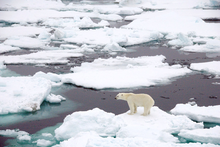
Landfast sea ice is ice that, by definition, remains stationary and anchored to the land. It is a critical component of the Arctic coastal system affecting sedimentary processes and providing critical habitat to marine wildlife. Landfast ice is also a key feature of the icescape for humans. Residents of coastal communities use landfast ice for hunting and traveling, while the offshore oil and gas industry build ice roads across it. Furthermore, as shipping and other commercial activities increase in the North, landfast ice is an important consideration for scheduling coastal deliveries and identifying potential places of refuge for vessels needing safe anchorage in protected bays. Operational ice charts, created primarily for sea ice conditions relevant to marine navigation, routinely delineate landfast ice relying on the skilled interpretation of ice analysts. Not only is such work relatively laborious, but it introduces a level of objectivity makes it challenging to analyze trends and interpret events. Since the landfast of landfast ice can undergo many changes that affect its optical and dielectric properties without involving motion, there is currently no reliable means for mapping landfast ice in an automated fashion from remote sensing data. However, using a semi-automated approach the PI has found that landfast along Alaska's northern coastline has been forming later and breaking up earlier in recent years than it did during the 1970s. This is possibly in response to regional warming and the overall retreat of perennial Arctic sea ice, but linkages with locale-specific coastal processes remain unclear.
Analysis of repeat altimetry of the landfast offers a promising means of developing an automated landfast ice extent algorithm, while also providing an opportunity to observe the combination of dynamic processes that drive changes in the topography of landfast sea ice. While the production of ice elevation timeseries has long been at the heart of the IceSat mission, the PI is not aware of any previous application to stationary landfast ice. The primary mechanism affecting the elevation of otherwise stationary landfast is changes in sea level, which are typically well correlated over scales over 10s - 100s of km. Thus, provided there is sufficient surface relief but no significant ice deformation between passes, analysis of consecutive sea ice elevation profiles (ATL07) should provide a simple means of measuring landfast ice extent, since repeat measurements over drifting ice will be uncorrelated even over much shorter distances. As a researcher with extensive experience studying coastal sea ice processes, the PI has been exploring automatable methods for deriving landfast ice extent for over 10 years. IceSat2 data could provide a simple means of achieving this. Furthermore, if it could be developed into a routine data product it would be of significant interest to operational sea ice analysts and those who regularly use their products.
SDT Member Partner:
End Users:
James Nelson (james.a.nelson@noaa.gov) / Rebecca Heim (Rebecca.Heim@noaa.gov), NOAA National Weather Service Ice Desk