

By USDA, via Wikimedia Commons
Wenge Ni-Meister (Early Adopter)
Hunter College of The City University of New York
Applied Research Topic:
Vegetation maps with on-demand fusion of remote sensing data for potential use of U.S. Forest Service inventories and fire fuel estimates.
Potential Applications:
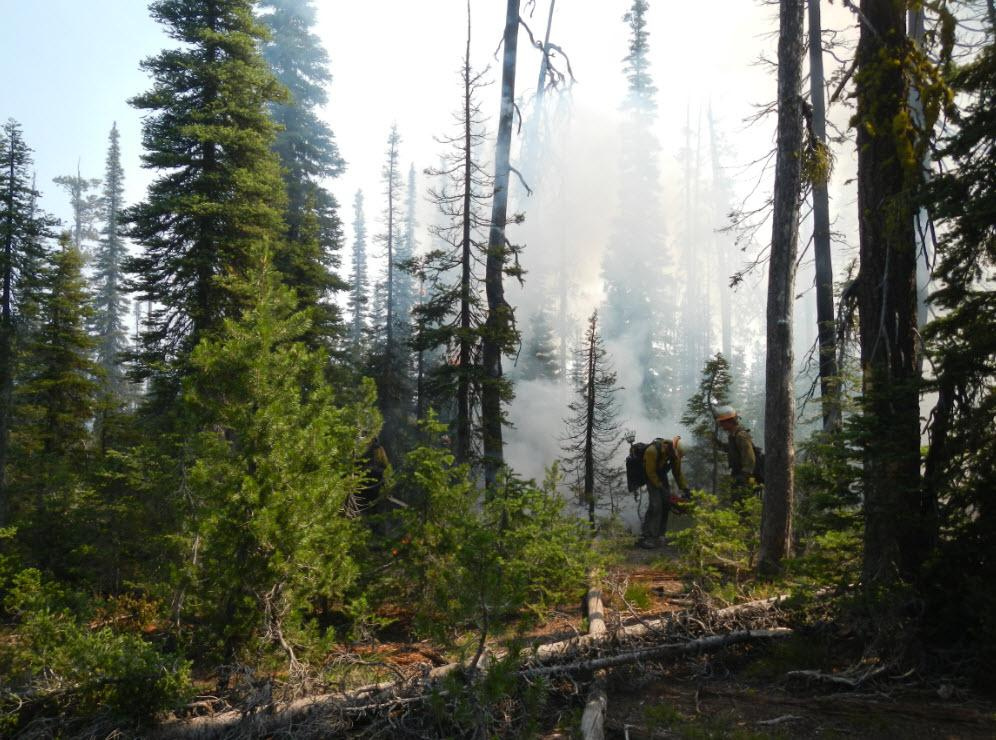
Fire inventories, Fire fuel mapping
Abstract:
Current vegetation structure mapping at large scale is limited to coarser spatial resolutions. Global vegetation height maps were developed at 1km scale through fusion of active global ICESat-I lidar data with optical MODIS and climatological data. Large scale above-ground biomass maps were developed at 500m scale through fusion of ICESat, MODIS and radar data. However height and biomass vary at the scale of the individual tree or stand, but the resolution of available datasets is too coarse to characterize this variability over large areas to due to disturbance. High-resolution airborne lidar does not yet cover enough area for regional or national applications.
To map vegetation structure at fine spatial scales for potential uses of forest inventories and fire fuel mapping, we developed a web service architecture that fuses ICESat data with Landsat-scale datasets on demand, resulting in 30m-resolution estimates of canopy horizontal and vertical structure. The web service approach allows processing to occur when the data is requested, eliminating the need to store the higher-resolution data. As a proof-of-concept, this method was used to downscale vegetation height to 30m scale from 1km ICESat-I and MODIS land cover and 30m Landsat canopy density map data. Currently it is being extended to map vertical foliage profiles and above-ground biomass and forest change through fusing full-waveform ICESat-GLAS data, MODIS and Landsat vegetation cover and types and FIA field data.
ICESat-II data will add additional vegetation structure information at high spatial resolution and has the potential to improve the accuracies of our current vegetation structure products. We propose to fuse ICESat-II and Landsat data to refine our vegetation structures products at fine spatial scale for our ICESat-II Early Adopter project. The algorithms will first test using airborned MABEL data collected in various regions in the US. The finer resolution vegetation structure products could potentially be used for forest inventories and fire fuel mapping.
SDT Member Partner:
End Users:
U.S. Forest Service (POC: TBD)