

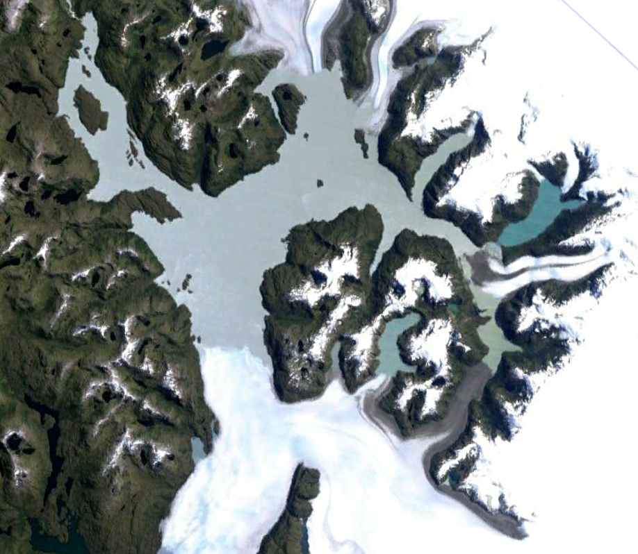
Lake Greve
Charon Birkett
NASA Goddard Space Flight Center
Applied Research Topic:
Laser altimetry data for studying lake and river dynamics with a focus on the complexities of high-latitude regions. Applications include pre- and post-flood analysis (ice-dam breaks) and conservation (fish and wildfowl habitat), with particular reference to variations caused by changes in regional climate.
ATLAS Data Product Used: ATL13 and ATL03
Abstract:
High-latitude surface water dynamics are complex, fast, and driven by snow, ice, and permafrost. Understanding mechanisms and predicting variability due to natural processes and climate change often lack basic hydraulic measurements. Satellite altimetry missions serve both the science and applied science sectors, and each mission contributes to the archive of global measurements. The ICESat-2 ATLAS instrument is recording surface elevations to ±88˚ latitude, across all seasons, and with an unprecedented along-track spatial resolution. The ground-track density and the simultaneous operation of 6 lasers also offers increased spatial coverage.
This project aims to explore, create, and integrate ATLAS based measurements of lakes and rivers that are situated in Alaska and the Yukon and British Columbia Provinces where gauge deployment is sparse. The research and applications are divided into,
- Lake Dynamics: Emphasis is on a wide range of lake types including glacial lakes prone to ice dams, a series of very small shallow lakes within an Arctic National Wildlife Refuge, and the large lakes along the Aleutian Peninsula. Elevation variability should capture seasonal and inter-annual changes, bathymetry or mean water depth, and the temporal/spatial knowledge of ice build-up. The results will be input into various agency programs centered on assessing flood hazard risks and natural resources.
- River Dynamics: Emphasis is on determining changes in channel morphology and assessing the complexities within large braided and meandering rivers. The effects of the build-up of seasonal ice, and of channel erosion and scour, which are both relevant to flooding and infrastructure damage, are also under study. ATLAS will provide high-resolution bank-to-bank and along-channel water surface gradients and elevation variability. The ability to observe channel width, mean water depth, and the build-up of ice-cover will also be explored.
All new or enhanced ATL hydraulic measurements will be made publicly available via the Global Water Measurements (GWM) web interface https://blueice.gsfc.nasa.gov/gwm. The project will also look to the future, routine ingestion of satellite-based lidar data in general i.e., the integration of surface elevation measurements into operational systems that contribute to longer-term climatic change detection, or which enhance agency decisions support systems.
SDT Member Partner:
Co-Investigator(s):
Mike Jasinski, NASA/GSFC
Kristine Barbieri (SSAI)
Martina Ricko (KBR)
Hunter Yang (KBR), NASA/GSFC
End Users:
Dave Bjerklie, USGS
Benjamin Johnson, NWS/NOAA (Alaska)
Michael Winfree, FWS (Alaska)
Dan Shugar, University of Calgary