

How can ICESat-2 Contribute to Surface Water Monitoring From Space and Improve Water Management Decision-Making?
via Wikimedia Commons
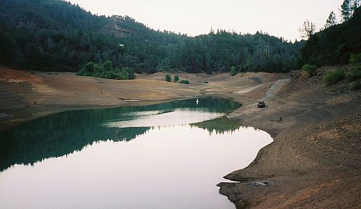
Monitoring Fresh Water Availability
Monitoring change in the amount of available surface water is of critical importance for water managers. Half of the United States population gets some or all of its drinking water from a river or precipitation-dependent lake or headwaters. Internationally, 80 percent of all water withdrawals are from surface-water bodies such as rivers or lakes. ICESat-2 will provide high-resolution observations of lake and river elevations that can be used to improve estimates of water resources.
When managing a large reservoir or lake to provide these resources, water managers must account for water coming in and leaving the hydrological system – whether from changes in precipitation or temperature, or due to water outflow via a dam. Current near-real-time hydrological models require significant river flow and reservoir height information to be accurate for forecasting floods and droughts. Many developing countries lack sufficient automated river flow information, which would allow them to know when precipitation changes upstream could cause water flow changes downstream.
Who cares and why?
Existing satellite-derived information provides insights into how changes in rain and snowfall affect river flows as well as lake and reservoir heights. Analysis of floods and low-flow events provides critical information about agricultural and drinking water availability. Estimates of drought drive or influence markets, price discovery, trade and agriculture policies, and farm and food programs. Internationally, satellite observations are used to track and anticipate changes in water availability, reductions in agricultural production and water scarcity. The US Department of Agriculture uses reservoir heights to better understand drought and hydrological status that may affect food availability globally. Today, radar altimeters monitor water bodies that are at least 50 km2 in size, or 500m across. The size requirement is to ensure that the altimeter measures the water height and not the surrounding land and its vegetation.
Needed Measurements
Monitoring lakes and reservoirs requires combining all available satellite derived water height observations with in situ hydrologic monitoring networks and other altimetry data, including observations from TOPEX/POSEIDON, Jason-1 and Jason-2/OSTM, ENVISAT, and SARAL. Decision makers need more observations at higher resolution that are able to observe smaller rivers and reservoirs through time to determine seasonal water availability. Even small changes in water availability can cause severe water resource problems and a significant increase in floods and droughts that affect large numbers of people across the world.
The NASA Response
Launching no later than 2018, the Ice, Cloud and Land Elevation Satellite-2 (ICESat-2) mission will use one of the most precise instruments to collect spatially dense global measurements of surface elevation. The micro-pulse, multi-beam Advanced Topographic Laser Altimeter System (ATLAS) instrument will enable global, seasonal and high-resolution observations of inland water body heights. Through its design, ATLAS will collect data that will improve the understanding of high-latitude hydrology and lake storage. The ATLAS observations will be used as a primary data source where in situ observations are lacking, and as a source of validation of river and lake levels obtained from other satellite measurements.
NASA and its partners through the Early Adopter program will work to incorporate pre-launch airborne simulator observations that mimic ICESat-2 into USDA Water Level Monitoring of Lakes and Reservoir system. The USDA report-development process is very time-sensitive, thus to be useful, at least one new lake level observation needs to be made during the previous month. Another Early Adopter is working to incorporate the data into an operational global flood monitoring system through the Global Flood Partnership sponsored by the EU Joint Research Center. This system focuses on providing flood observations and modeling infrastructure needed to rapidly identify and respond to extreme events.
Using satellite-derived information about changes in rivers and lake heights helps decision makers understand how much water is available for drinking, industrial processes and irrigation for agriculture. Lake heights are incorporated into global flood forecasting systems, which help regions vulnerable due to extremely high rainfall in upstream areas. ICESat-2 data will provide new and highly accurate observations of inland water to improve decision-making, and will be a valuable addition to current understanding of changes in global water availability.
Comments? Thoughts?
For additional information about ICESat-2 mission applications or this particular application please contact Molly Brown at mbrown52@umd.edu.