

Learn about the ICESat-2 Mission
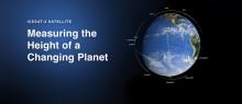
The Ice, Cloud and land Elevation Satellite-2, or ICESat-2, measures the height of a changing Earth – one laser pulse at a time, 10,000 laser pulses a second. Launched Sept. 15, 2018, ICESat-2 carries a laser altimeter that detects individual photons, allowing scientists to measure the elevation of ice sheets, sea ice, forests and more in unprecedented detail.