ICESat-2 will provide scientists with height measurements that create a global portrait of Earth’s third dimension, gathering data that can precisely track changes of terrain including glaciers, sea ice, forests and more.

Download full resolution video here.

Video Credit: NASA/GSFC

Pho, a plucky bright green photon of light, must travel from a NASA spacecraft down to Earth and back again to help complete a crucial science mission in this educational short film.

Download high resolution video here

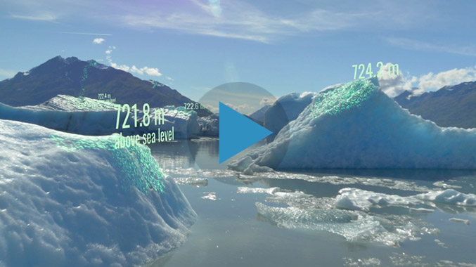
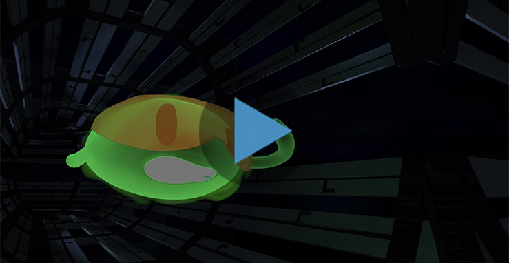
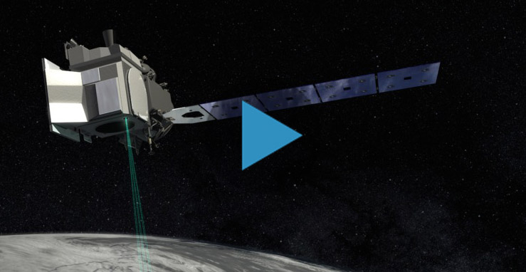
The Ice, Cloud and land Elevation Satellite-2, or ICESat-2, is a laser altimeter that will measure the heights of Earth’s surfaces. This animation shows deployment of ICESat-2's solar panels, door, and laser pulses.

Video Credit: NASA/GSFC

Download high resolution video here

Page URL:
Share on Social Media:
[X]