

Kenneth Carpenter, CC-BY-SA-4.0
J. Toby Minear
NOAA Cooperative Institute for Research in Environmental Sciences / University of Colorado, Boulder
ICESat-2 for Applied Hydrology and Inland Bathymetry.
Predictions of flood phase and timing; predictions of overbank flooding
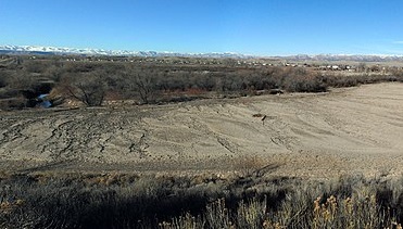
At present, a comprehensive and well-organized inland bathymetry dataset for the United States does not exist. As such, national hydrologic models, such as NOAA’s operational National Water Model (NWM) must rely on estimated bathymetry and slope, which introduces large uncertainties into the model. In addition, most waterbodies (both lakes/reservoirs and river segments) in the US lack water surface elevation data, which would help inform when overbank flooding might occur. With this project, we propose to evaluate the potential of ICESat-2 inland bathymetry, slope, and water surface elevation data to improve the NWM. To do this, we will evaluate ICESat-2 data at two regional model test sites (~10,000 km2), which have been chosen as part of an existing NOAA-funded project to update the channel properties in the NWM (funded through 2021). If these test sites show improvements to the NWM, a CONUS-wide evaluation will be considered.
National Oceanic and Atmospheric Administration, National Weather Service, Office of Water Prediction, Fernando Salas, PhD (Physical Scientist), email: Fernando.Salas@noaa.gov.