

By Kwerdenker, from Wikimedia Commons
Merete Badger and Kenneth Grogan
(Early Adopters)
Danish Technical University - Wind Energy Department; DHI-GRAS A/S
Applied Research Topic:
A Danish innovation funded project on optimizing wind energy estimates using satellite data
Potential Applications:
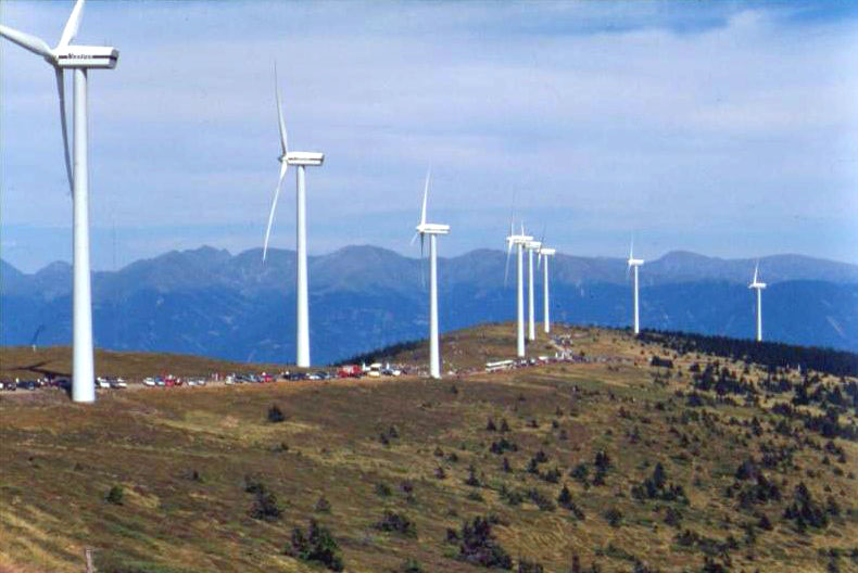
Wind energy resource assessments; Energy production
Abstract:
Roughness length (Z0) is a critical parameter in wind flow modelling, yet remains the parameter with most uncertainty. Improving estimates of roughness length is therefore of great importance for wind resource assessments and the global energy sector. At the moment, flow modelling is done almost exclusively using default look-up table values of roughness length, based upon broad land cover types derived from satellite imagery. Of all vegetation types, forest has the highest and most variable roughness length, however the current standard practice means that forest is given just 1-2 default values based on forest type. Better estimates of roughness length can be made using forest canopy height and canopy fraction as model inputs, however this data is lacking. In this research, we plan to investigate the potential of producing gridded forest canopy height and forest canopy fraction data suitable for wind flow models using ICESat-2, Sentinel-1, Sentinel-2 and Landsat 8. It is envisaged that this research, and post-launch activities, will allow a large user group of wind flow modeler’s access to better roughness length estimates, and ultimately lead to improved wind resource assessments.
SDT Member Partner:
Co-Investigator(s):
Torsten Bondo, DHI-GRAS
Ebba Dellwik, The Technical University of Denmark
Henning Skriver, The Technical University of Denmark
End Users:
Wind energy companies:
EMD International, POC: Morten Thøgersen
VESTAS
VATTENFALL