

Javier Osario Leyton
Assistant Professor; Texas A&M AgriLife Research; Texas A&M University Dept. of Rangeland, Wildlife, & Fisheries Management
A cloud-based workflow for estimating above-ground woody biomass and associated carbon stocks in rangelands with ICESat-2: A data-driven tool for rangeland management.
ATLAS Data Product(s) Used: ATL08, ATL03
Land management
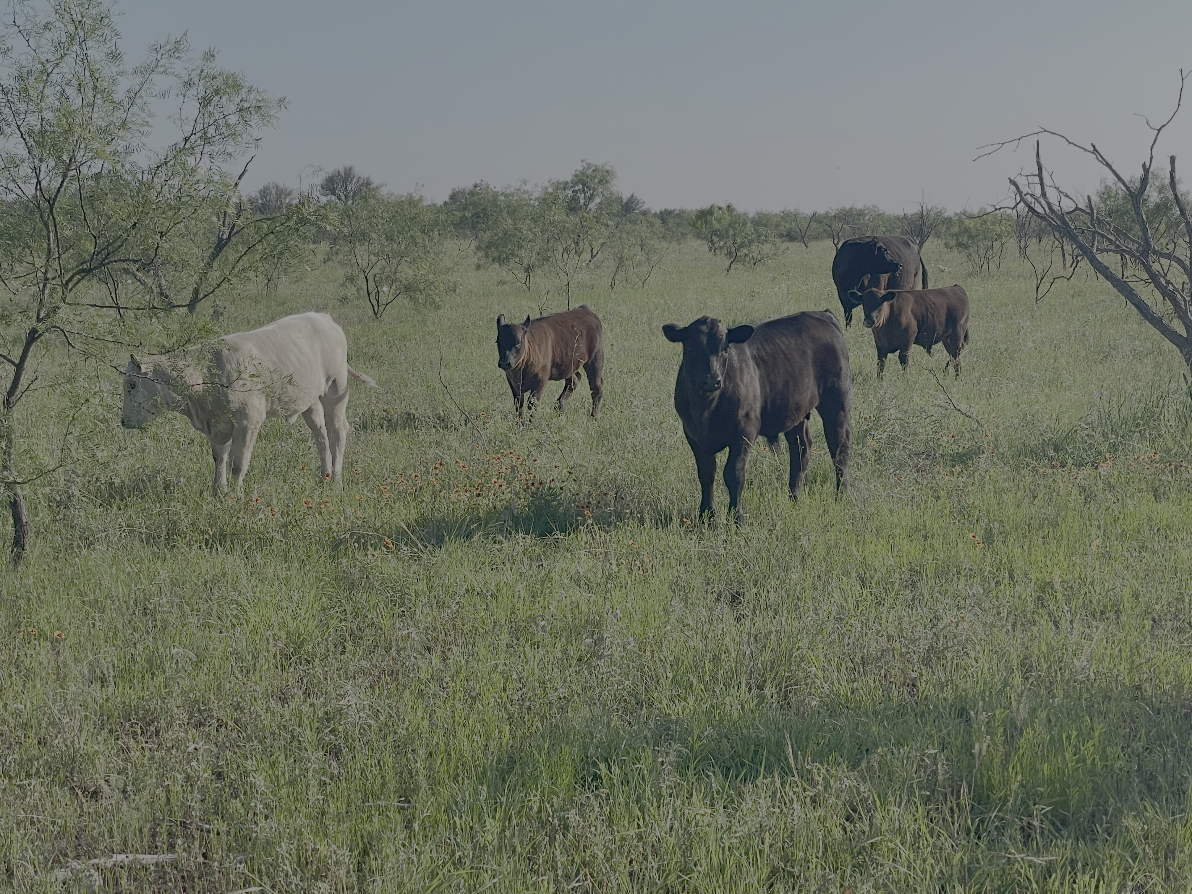
Woody plant encroachment currently affects roughly one-quarter of U.S. rangelands, altering forage availability, water balances, nutrient cycling, and native biodiversity (Schmidt et al., 2024). Although the phenomenon likely reshapes regional carbon budgets, its net effect on sequestration remains poorly quantified because existing field- and airborne surveys are too sparse to capture broad spatial patterns (Liu et al., 2020; Aweto, 2024; Ding and Eldridge, 2024). To fill this gap, we propose a scalable, cloud-based workflow for estimating above-ground woody biomass and associated carbon stocks across diverse rangeland ecoregions. Our pilot application focuses on the Edwards Plateau of central Texas, an area experiencing rapid encroachment. Four machine learning algorithms, Random Forest, XGBoost, TabNet, and a Multi-Layer Perceptron were built on 28 spectral, structural, and environmental predictors. Using Google Earth Engine and Google Colab, we integrate multi-temporal net primary productivity (NPP) layers from 2001-2023 with multispectral imagery from Landsat 8/9, spaceborne lidar from ICESat-2, and topographic, hydrologic, and soils datasets from 2023. Preliminary assessments were against independent field USFS FIA plot data (Accessed from: https://doi.org/10.3390/rs12244141) and suggest the workflow captures regional biomass gradients and identifies hotspots of woody expansion, but additional calibration and allometric improvements for measuring dominant species such as honey mesquite are planned. Once fully validated, the resulting biomass and carbon maps will be available to land managers, ranchers, and policymakers. Our outputs could help us to better understand patterns of woody plant encroachment, evaluate management interventions, and improve carbon accounting. By leveraging freely available data and cloud computing, this project offers a transferable blueprint for monitoring woody biomass dynamics in rangelands throughout the Great Plains region and beyond.
Sorin Popescu
Local ranchers & land managers; Policymakers
Aweto, A. O. (2024). Is woody plant encroachment bad? Benefits of woody plant encroachment—A review. Landscape Ecology, 39(2), 21.
Ding, J., & Eldridge, D. J. (2024). Woody encroachment: social–ecological impacts and sustainable management. Biological Reviews, 99(6), 1909-1926.
Liu, Y. H., Cheng, J. H., Schmid, B., Tang, L. S., & Sheng, J. D. (2020). Woody plant encroachment may decrease plant carbon storage in grasslands under future drier conditions. Journal of Plant Ecology, 13(2), 213-223.
Menlove, J., & Healey, S. P. (2020). A comprehensive forest biomass dataset for the USA allows customized validation of remotely sensed biomass estimates. Remote Sensing, 12(24), 4141.
Schmidt, H. E., Leyton, J. M. O., Popescu, S. C., Yarasca, E. N., Sarkar, S., & Wilcox, B. P. (2024). Connecting the dots: how ecohydrological connectivity can support remote sensing and modeling to inform management of woody plant encroachment. Rangeland Ecology & Management, 95, 84-99.