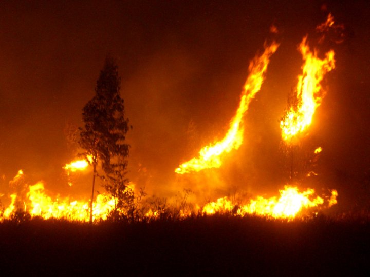
Wildfire in Portugal
Sérgio Godinho
Institute of Earth Sciences, University of Évora, Portugal
Assessing the usefulness of ICESat-2 data for wildland fuel mapping.
Fire prevention and planning
Recent studies have suggested that fire regimes will be altered as a response to climate change, resulting in an increased frequency and intensity of wildfires in areas already fire-prone, as well as an increase in susceptible areas. In this context, the projected weather conditions for the Mediterranean region, associated with the existing vegetation, will favor higher wildfire frequency and severity. In Portugal, catastrophic consequences of these extreme circumstances have already been observed in 2003, 2005, and 2017, with the occurrence of large wildfires causing extensive economic, environmental and human losses. In 2017, Portugal had suffered a record number of devastating wildfires, which burned an area of 539 920 ha of forests, shrublands and agricultural land causing 117 deaths. This situation clearly imposes an urgent need for a more sustainable coexistence with fire by promoting the adaptation of fire management policies to the new fire regimes. To better support fire and fuel management decisions is vital the development of an effective spatial information systems, namely with remote sensing-based methodologies, to generate accurate and timely information of fuel-related variables. In Portugal the lack of accurate and high resolution maps representing key-fuel related variables at a national scale has been conditioning the implementation of an effective decision-making process regarding fire prevention and planning. As such, this project intends to develop and test a multi-source satellite approach for mapping fuel-related variables. In particular, the project will focus on the assessment of the main capabilities of a space-borne LiDAR system (ICESat-2) in retrieving vegetation height and vertical structure information, as it is critical for fire simulators.
Sérgio Godinho (PI), University of Évora, Portugal. (https://www.researchgate.net/profile/Sergio-Godinho-2)
- Will be responsible for the project implementation and management;
- Scientific coordination of Task 4, Task 5, and Task 6;
- Co-coordination of Task 1 and Task 3;
- Collaboration in Task 2.
Nuno Guiomar (Co-I), University of Évora, Portugal. (https://www.researchgate.net/profile/Nuno-Guiomar)
- Scientific coordination of Task 1;
- Collaboration in Task 5, Task 6, and Task 7.
Susana Barreiro, University of Lisbon, Portugal (https://www.researchgate.net/profile/Susana-Barreiro)
- Scientific coordination of Task 2;
- Collaboration in Task 3.
Margarida Tomé, University of Lisbon, Portugal (https://www.researchgate.net/profile/Margarida-Tome-4)
- Collaboration in Task 2 and Task 4;
Juan Guerra, University of Lisbon, Portugal. (https://www.researchgate.net/profile/Juan-Guerra-7)
- Scientific coordination of Task 3;
- Co-coordination of Task 4.
Akli Benalli, University of Lisbon, Portugal. (https://www.researchgate.net/profile/Akli-Benali)
- Scientific coordination of Task 7;
- Collaboration in Task 5 and Task 6.
Ana Sá, University of Lisbon, Portugal (https://www.researchgate.net/profile/Ana-Sa-10)
- Collaboration in Task 5, Task 6 and Task 7
Brigite Botequim, University of Lisbon, Portugal (https://www.researchgate.net/profile/Brigite-Botequim)
- Collaboration in Task 2, Task 3, and Task 4.
Maria João Costa, University of Évora, Portugal. (https://www.researchgate.net/profile/Maria-Joao-Costa)
- Collaboration in Task 5 and Task 6.
Adélia Sousa, University of Évora, Portugal (https://www.researchgate.net/profile/Adelia-Sousa)
- Collaboration in Task 5 and Task 6.
Helena Guimarães, University of Évora, Portugal (https://www.researchgate.net/profile/Maria-Guimaraes)
- Coordinator of the Science-stakeholder engagement.
Directorate General for Territory, Hugo Costa (hcosta@dgterritorio.pt)

