

Huilin Gao (Early Adopter)
Department of Civil and Environmental Engineering, Texas A&M University
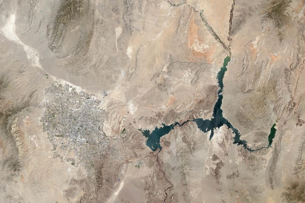
Monitoring reservoir storage in the Western US using ICESat-2 and HLS observations
ATLAS Data Product Used: ATL08
Water resources management, hydrological modeling, sedimentation
Regular monitoring of Western U.S. reservoirs is impeded by limited data availability, which affects real-time water resource management activities. The region's vulnerability to extended droughts, inconsistent precipitation, and increasing population driven water demand necessitates continuous real-time reservoir monitoring for critical decision making.
The Harmonized Landsat Sentinel-2 (HLS) dataset (Claverie et al., 2018) facilitates precise and frequent assessment of reservoir water surface elevation, surface area variation, and evaporation loss value. Understanding the dynamics of water storage in global lakes and reservoirs is pivotal for regional climatology, disaster prevention, and ecosystem preservation. However, the ability to accurately comprehend these storage dynamics is significantly hindered by the lack of reliable, and cost-effective global bathymetry datasets.
Bureau of Reclamation (POC: Kathleen Holman)
Claverie, Martin, et al. "The Harmonized Landsat and Sentinel-2 surface reflectance data set." Remote sensing of environment 219 (2018): 145-161.