National Aeronautics and Space Administration
Goddard Space Flight Center

MABEL Data : 025_20120415_Iceland_Checkout/1000/mabel_l2_20120415t100800_010_1
MABEL Data : 025_20120415_Iceland_Checkout/1000/mabel_l2_20120415t100800_010_1
PLEASE read the Data Usage Notes and the Standard Data Product Document before using these data!
L2A 1064 All Channels 3D Elevations (m)

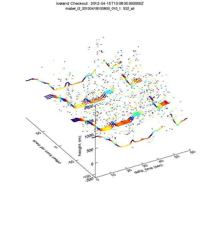
L2A 532 All Channels 3D Elevations (m)
Links
Index Pages
Browse Pages
Downloads
Navigation
Citation For External Publication
The data used in this study were produced by the ICESat-2 Science Project Office at NASA/GSFC. The data archive site is TBD.
Access Constraints
These data and may not be reproduced or distributed without including the Citation For External Publication. Data may not be distributed in an altered form without the written permission of the ICESat-2 Science Project Office.
Data Quality Statement
These data are considered PRELIMINARY. Not all calibrations/corrections have been applied. There are currently known processing errors in elevation and geolocation-related measurements. See documentation referenced at the top of this page for more information.

- NASA Official: Thorsten Markus
- Webmaster: Kristine Barbieri
- Page Last Updated: {Tue Nov 11 18:15:17 UTC 2014}